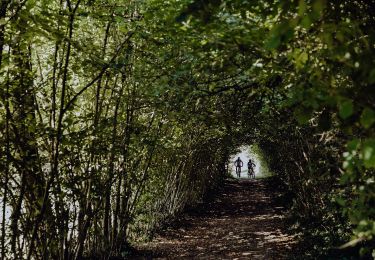
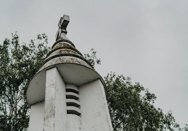
Trail On foot Merbes-le-Château - Promenade des Batelières - Photo

Promenade des Batelières

Randonnées du CGT GUIDE+

© OpenStreetMap contributors
Length
Length
4.5 km
Max alt
Max alt
143 m
Uphill gradient
Uphill gradient
43 m
Km-Effort
Km-Effort  
5.1 km
Min alt
Min alt
116 m
Downhill gradient
Downhill gradient
43 m
Boucle
Boucle
Yes
Creation date :
2022-02-08 11:22:13.304
Updated on :
2022-02-21 10:03:20.664

(0 Reviews)

On foot
On foot
1h09
Difficulty : Easy

Scan this QR Code to open this trail in the SityTrail application

FREE GPS app for hiking

Logo SityTrail SityTrail

IGN / Geographical institutes

Download SityTrail from the App Store Download SityTrail from Google Play

Logo SityTrail SityTrail World

The world is yours!

Download SityTrail from the App Store Download SityTrail from Google Play Download SityTrail on Huawei AppGallery

About

Trail On foot of 4.5 km to be discovered at Wallonia, Hainaut, Merbes-le-Château. This trail is proposed by Commissariat général au Tourisme.

Description

Trail created by Pays des Lacs.


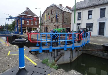
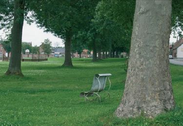
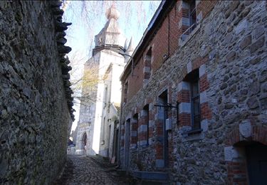
Allow yourself to be seduced by the rural countryside of Labuissière on this route, which covers a little over 3,000 hectares. The drawbridge and its manual lock are sure to grab your attention. The gable of the white house at no. 2, Rue Max Buset, houses a statue of Saint Martin from 1828. The twists and turns of the Sambre river gently guide you to Fontaine Valmont and its church. Merbes-le-Château is home to large farms, which were once renowned for the quality of the workhorses bred there. The small chapel of Saint-Pierre was restored in 1842.


Elevation profile

Photos

Positioning

Country:
Belgium
Region :
Wallonia
Department/Province :
Hainaut
Municipality :
Merbes-le-Château
Location:
Unknown
Start:(UTM)
585060 ; 5574247 (31U) N.

Trails nearby

Trail Walking Merbes-le-Château - GG-Ht-05_Labuissière - Landelies - Photo
Walking
PRO

Walking

Very difficult
(1)
Merbes-le-Château, Wallonia, Hainaut, Belgium
21 km | 26 km-effort
5h 33min
No
Trail Walking Merbes-le-Château - RB-Ha-12 - Dans le parc naturel des Hauts-Pays - Photo
Walking
PRO

Walking

Very difficult
(4)
Merbes-le-Château, Wallonia, Hainaut, Belgium
23 km | 27 km-effort
6h 6min
Yes
Trail Walking Merbes-le-Château - De Merbes-le-Château à Labuissière - Photo
Walking
GUIDE
Desrumaux

Walking

Easy
(2)
Merbes-le-Château, Wallonia, Hainaut, Belgium
13.2 km | 14.8 km-effort
3h 15min
Yes
Trail Walking Merbes-le-Château - RB-Ha-12 - Raccourci - Dans le parc naturel des Hauts-Pays - Photo
Walking
PRO

Walking

Difficult
(2)
Merbes-le-Château, Wallonia, Hainaut, Belgium
15.5 km | 17.9 km-effort
4h 3min
Yes
Trail Walking Lobbes - La promenade héroique - Photo
Walking

Walking

Very easy
(2)
Lobbes, Wallonia, Hainaut, Belgium
4.9 km | 6.2 km-effort
1h 18min
Yes
Trail Walking Merbes-le-Château - De Labuissiere vers Fontaine-Valmont par la Vallee de la Sambre - Photo
Walking
GUIDE
Desrumaux

Walking

Easy
(1)
Merbes-le-Château, Wallonia, Hainaut, Belgium
9.2 km | 10.8 km-effort
2h 15min
Yes
Trail Nordic walking Lobbes - Sars 2 - Photo
Nordic walking
erleroy@yahoo.fr

Nordic walking

Easy
(1)
Lobbes, Wallonia, Hainaut, Belgium
11.6 km | 13.3 km-effort
2h 6min
Yes
Trail Nordic walking Erquelinnes - 6560-05 - Hantes-Wihéries - 9,9km - 104m - Photo
Nordic walking

Nordic walking

Very easy
(1)
Erquelinnes, Wallonia, Hainaut, Belgium
9.9 km | 11.3 km-effort
Unknown
Yes
Trail Mountain bike Lobbes - Circuit de Goderan - Photo
Mountain bike
GUIDE+

Mountain bike

Medium
Lobbes, Wallonia, Hainaut, Belgium
17.5 km | 21 km-effort
1h 26min
Yes


Close
My subscriptions