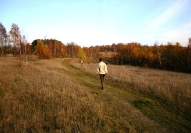
Trail On foot Andenne - Chant d'oiseaux - Photo

Chant d'oiseaux

Randonnées du CGT GUIDE+

© OpenStreetMap contributors
Length
Length
11.8 km
Max alt
Max alt
211 m
Uphill gradient
Uphill gradient
260 m
Km-Effort
Km-Effort  
15.3 km
Min alt
Min alt
101 m
Downhill gradient
Downhill gradient
261 m
Boucle
Boucle
Yes
Creation date :
2022-02-08 11:21:27.592
Updated on :
2022-02-21 10:02:28.964

(0 Reviews)

On foot
On foot
3h28
Difficulty : Easy

Scan this QR Code to open this trail in the SityTrail application

FREE GPS app for hiking

Logo SityTrail SityTrail
IGN / Geographical institutes

Download SityTrail from the App Store Download SityTrail from Google Play

Logo SityTrail SityTrail World

The world is yours!

Download SityTrail from the App Store Download SityTrail from Google Play Download SityTrail on Huawei AppGallery

About

Trail On foot of 11.8 km to be discovered at Wallonia, Namur, Andenne. This trail is proposed by Commissariat général au Tourisme.

Description

Trail created by Vallée de la Meuse Namur-Dinant.


This 11.8km walk takes you to the discovery of the Sclaigneaux Nature Reserve and the village of Landenne.

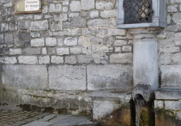
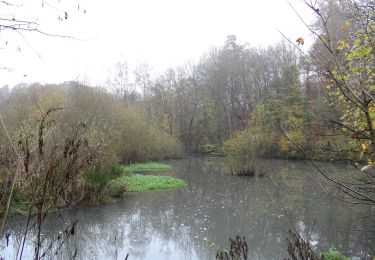
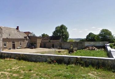
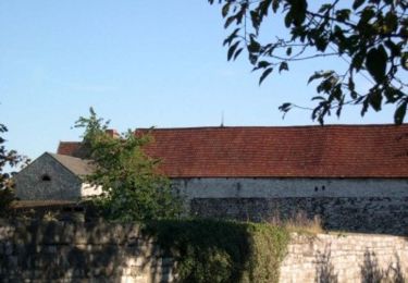
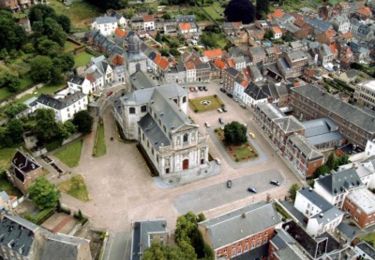
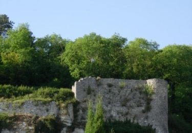
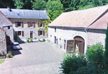
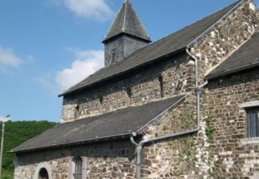
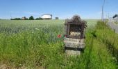
Classified site and NATURA 2000 zone, the Reserve impresses by its wild beauty and by the variety of the ecosystems which it gathers on a rather restricted surface ( /- 50 ha). During your walk, you will observe 3 ecosystems: the heather moor, the limestone lawns and the forest. Once out of the limits of the Reserve, you arrive in the bottom of the valley of the Loysse. You go up its course until its intersection with a small path in the direction of Vezin towards the old Bure Saint-Remy. You continue through the woods to the former Collignon castle, now transformed into the Chant d'Oiseaux educational farm. You continue through the fields to reach the village of Landenne. In the streets of the village, you will come across the pretty little chapel of Saint-Mort and the church of Saint-Rémy. You walk along several beautiful farms before reaching a path in the middle of the fields that leads you to the Seilles quarry, which you pass. You then pass the charming Saint-Etienne Church, one of the 5 Romanesque churches of Andenne. After the church, you go around the cemetery and return to the access road of the Reserve to your starting point.


Elevation profile

Photos

Positioning

Country:
Belgium
Region :
Wallonia
Department/Province :
Namur
Municipality :
Andenne
Location:
Unknown
Start:(UTM)
646242 ; 5596138 (31U) N.

Trails nearby

Trail Walking Andenne - RB-Na-17-Au pays de Sainte-Begge - Photo
Walking
PRO

Walking

Very difficult
(14)
Andenne, Wallonia, Namur, Belgium
17.8 km | 23 km-effort
5h 18min
Yes
Trail Walking Andenne - Balade dans la Réserve Naturelle de Sclaigneaux - Andenne - Photo
Walking
GUIDE
Desrumaux

Walking

Easy
(5)
Andenne, Wallonia, Namur, Belgium
8.2 km | 11.1 km-effort
2h 24min
Yes
Trail Walking Andenne - Promenade Vezin - Photo
Walking
GUIDE+

Walking

Easy
(1)
Andenne, Wallonia, Namur, Belgium
6.1 km | 7.8 km-effort
1h 30min
No
Trail Walking Andenne - Promenade Thon-Samson - Photo
Walking
GUIDE+

Walking

Easy
(2)
Andenne, Wallonia, Namur, Belgium
6.5 km | 8.2 km-effort
1h 30min
Yes
Trail Walking Andenne - La Randonnée des Aguesses - Photo
Walking
GUIDE+

Walking

Easy
(2)
Andenne, Wallonia, Namur, Belgium
7.4 km | 9.7 km-effort
2h 8min
Yes
Trail Walking Andenne - Le Parcours du Trou Perdu - Photo
Walking
GUIDE+

Walking

Medium
(3)
Andenne, Wallonia, Namur, Belgium
7.3 km | 9 km-effort
2h 5min
Yes
Trail Walking Andenne - Le Circuit Brichebo  - Photo
Walking
GUIDE+

Walking

Easy
(2)
Andenne, Wallonia, Namur, Belgium
8.1 km | 10.5 km-effort
2h 19min
Yes
Trail Mountain bike Andenne - Chaine en Chêne 2012 - 50 km - Photo
Mountain bike
GUIDE+

Mountain bike

Difficult
(1)
Andenne, Wallonia, Namur, Belgium
50 km | 65 km-effort
1h 44min
Yes
Trail Mountain bike Andenne - Chaine en Chêne 2011 - 40km - Photo
Mountain bike
GUIDE+

Mountain bike

Difficult
(1)
Andenne, Wallonia, Namur, Belgium
37 km | 47 km-effort
3h 0min
Yes


Close
My subscriptions