


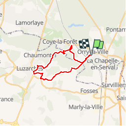


9.2 km | 11.2 km-effort

User


FREE GPS app for hiking
 SityTrail
IGN / Geographical institutes
SityTrail World
The world is yours!
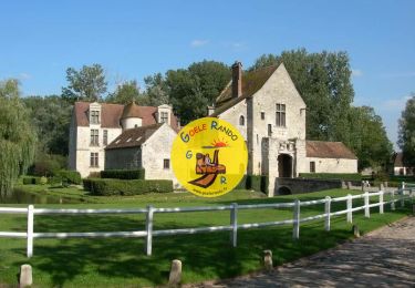
Trail Mountain bike of 19.5 km to be discovered at Hauts-de-France, Oise, Orry-la-Ville. This trail is proposed by Defrance.
vtt ldf seul


Walking
Walking

Walking

Walking
Walking

Walking
Walking

Walking

Walking