


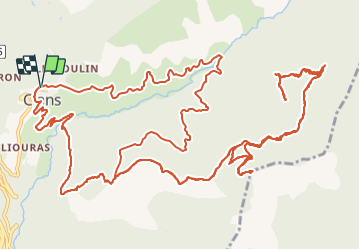

16.5 km | 31 km-effort

User


FREE GPS app for hiking
 SityTrail
IGN / Geographical institutes
SityTrail World
The world is yours!
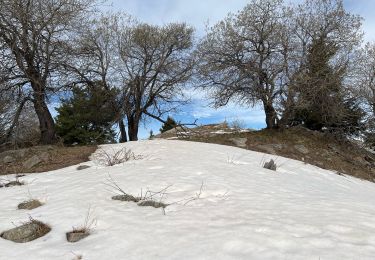
Trail Walking of 26 km to be discovered at Provence-Alpes-Côte d'Azur, Maritime Alps, Clans. This trail is proposed by GrouGary.
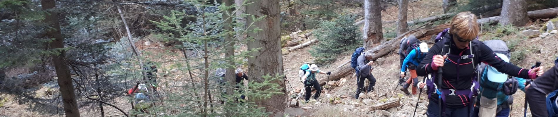
Rando déconseillée en raison des dégâts dus à la tempête Alex.
Tous les talwegs ont été ravagés par l'eau, creusant de profonds vallons empierrés et encombrés de troncs d'arbres.
Impossibilité d'effectuer la boucle prévue.


On foot
On foot
On foot
On foot
Walking

Walking

Walking

Walking

Walking
Attention suite à la tempête Alex, plusieurs sentiers sont encore fermés autour de Clans Chemin du Guinchet à son départ de Bancairon balise 40 et entre les balises 41 et 43 Sentier du Raous balises 36 et 37 Sentier du Pas du moulin Bonvillars entre les balises 45, 46, 47, 54 et 53 Pour plus d'informations, voir la liste des sentiers fermés du département 06