


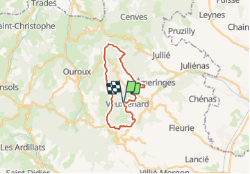

19.1 km | 0 m-effort


User


FREE GPS app for hiking
 SityTrail
IGN / Geographical institutes
SityTrail World
The world is yours!
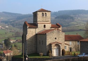
Trail Walking of 21 km to be discovered at Auvergne-Rhône-Alpes, Rhône, Vauxrenard. This trail is proposed by Praticrando.
Super randonnée effectuée le 06-02-2022 par un vent glacial et une averse de neige au départ. Vous retrouvez la rando sur Visorando
Walking

Walking

Walking
Walking

Walking
Walking
Walking

On foot
On foot