


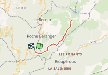

11.4 km | 20 km-effort

User


FREE GPS app for hiking
 SityTrail
IGN / Geographical institutes
SityTrail World
The world is yours!
Trail Snowshoes of 11.8 km to be discovered at Auvergne-Rhône-Alpes, Isère, Vaulnaveys-le-Haut. This trail is proposed by Emelle.
Sans difficulté. Effectué pour la majorité du groupe en crampons.
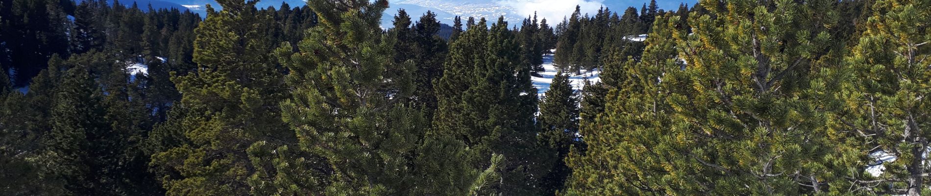
Un peu de vent au col de la Botte, pique-nique sous le col au sec (herbe). Beaux points de vue sur le Vercors, Tailleffer et les Rousses les Vans au col de la Botte.


Walking

Touring skiing

On foot

On foot

Walking

Walking

Walking
Walking
Walking