


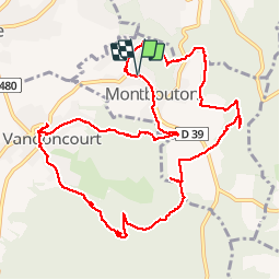

10.1 km | 13.5 km-effort


User


FREE GPS app for hiking
 SityTrail
IGN / Geographical institutes
SityTrail World
The world is yours!
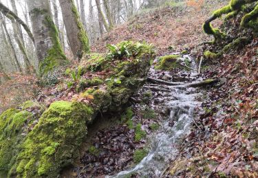
Trail Walking of 12.5 km to be discovered at Bourgogne-Franche-Comté, Territoire-de-Belfort, Montbouton. This trail is proposed by Papamoju.
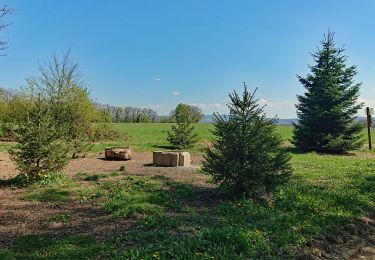
Grammont:Chalet table


Walking
Walking

Mountain bike

Walking

Walking

Walking
Walking

Walking
Walking