


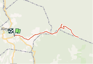

7.1 km | 8.2 km-effort


User


FREE GPS app for hiking
 SityTrail
IGN / Geographical institutes
SityTrail World
The world is yours!
Trail Walking of 9 km to be discovered at Auvergne-Rhône-Alpes, Drôme, Aleyrac. This trail is proposed by parastat.
Pour s'entraîner.
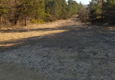
La montée au serre pelé n'a pas d’intérêt: broussailles et pas de vue.
Une partie ventée.

Walking

Walking

Walking

Walking
Walking

On foot

Walking

Walking

Walking