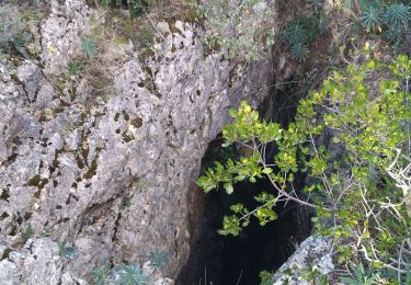
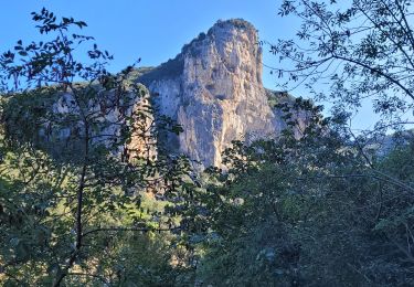
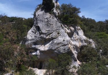
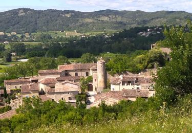
13.7 km | 22 km-effort
la Bastide de Virac (pont d'Arc)
ManteR07
User
Length
9 km
Max alt
398 m
Uphill gradient
232 m
Km-Effort
12 km
Min alt
230 m
Downhill gradient
228 m
Boucle
Yes
Creation date :
2022-02-04 09:15:18.697
Updated on :
2022-02-04 12:02:12.893
2h46
Difficulty : Very easy
FREE GPS app for hiking
About
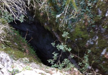
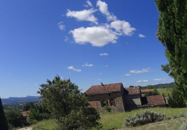
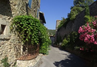
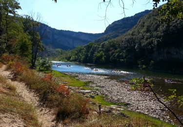
Trail Nordic walking of 9 km to be discovered at Auvergne-Rhône-Alpes, Ardèche, Labastide-de-Virac. This trail is proposed by ManteR07.
Positioning
Country:
France
Region :
Auvergne-Rhône-Alpes
Department/Province :
Ardèche
Municipality :
Labastide-de-Virac
Location:
Unknown
Start:(Dec)
Start:(UTM)
611584 ; 4911882 (31T) N.
Comments
Trails nearby
07 gorges ardeche
Walking
Easy
(1)
Labastide-de-Virac,
Auvergne-Rhône-Alpes,
Ardèche,
France
5h 5min
Yes
26 grottes deroc Chauvet zel
Walking
Very difficult
Vallon-Pont-d'Arc,
Auvergne-Rhône-Alpes,
Ardèche,
France
12.3 km | 20 km-effort
4h 39min
No
Vallon pont d'arc au bivouac du gournier
Walking
Medium
Vallon-Pont-d'Arc,
Auvergne-Rhône-Alpes,
Ardèche,
France
18.8 km | 31 km-effort
3h 45min
No
07 salavas pont de arc rieussec
Walking
Difficult
Salavas,
Auvergne-Rhône-Alpes,
Ardèche,
France
16.4 km | 23 km-effort
7h 40min
Yes
07 grotte derocs chauvet
Walking
Difficult
Vallon-Pont-d'Arc,
Auvergne-Rhône-Alpes,
Ardèche,
France
8.5 km | 14.5 km-effort
6h 18min
Yes
vallon pont arc au col de la cize
Mountain bike
Difficult
Vallon-Pont-d'Arc,
Auvergne-Rhône-Alpes,
Ardèche,
France
27 km | 36 km-effort
Unknown
No
VTT des bois des bruyères
Mountain bike
Medium
(1)
Vallon-Pont-d'Arc,
Auvergne-Rhône-Alpes,
Ardèche,
France
15.5 km | 20 km-effort
1h 21min
No
Gorges de l'Ardèche - Chams
Walking
Easy
(1)
Vallon-Pont-d'Arc,
Auvergne-Rhône-Alpes,
Ardèche,
France
9.9 km | 14.6 km-effort
3h 5min
Yes
Chames - Vallon de Tiourre
Walking
Difficult
Vallon-Pont-d'Arc,
Auvergne-Rhône-Alpes,
Ardèche,
France
11.3 km | 16.6 km-effort
3h 39min
Yes