


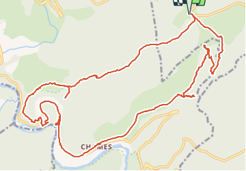

18.4 km | 28 km-effort


User


FREE GPS app for hiking
 SityTrail
IGN / Geographical institutes
SityTrail World
The world is yours!
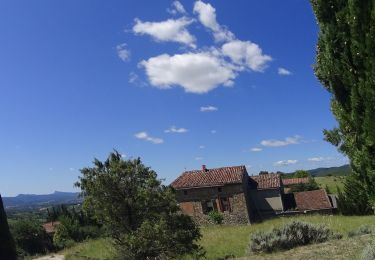
Trail Walking of 16.8 km to be discovered at Auvergne-Rhône-Alpes, Ardèche, Lagorce. This trail is proposed by Lucien84.
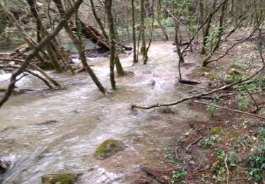
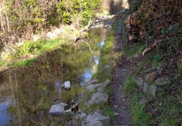
Rando faite ruisseau à sec.
Walking

Walking

Walking

Walking
On foot

Walking
Walking

Mountain bike
Mountain bike
Merci pour cette belle découverte. Ruisseau de Tiourre toujours à sec.