


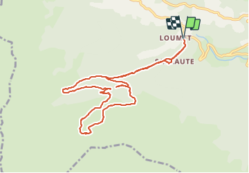

11.9 km | 23 km-effort

User


FREE GPS app for hiking
 SityTrail
IGN / Geographical institutes
SityTrail World
The world is yours!
Trail Walking of 11.3 km to be discovered at Occitania, Ariège, Saurat. This trail is proposed by chrisgps.
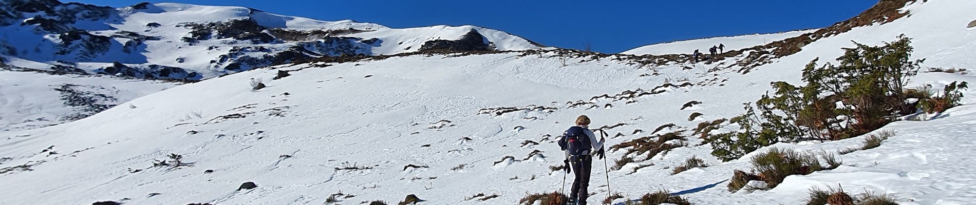
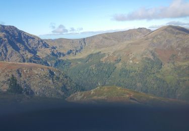
la boucle initialement prévue n'a pas pu être faite à cause .........
1- l'état de la neige présente en abondance
2 - de l'état du sous-bois de Lagrié (vers 1200m) rendant trop difficile l'accès à la sente intermédiaire entre la route forestière et le bon sentier longeant la foret, tant à la montée qu'à la descente.
A refaire dans de meilleures conditions, et surtout sans la neige
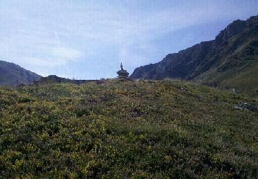
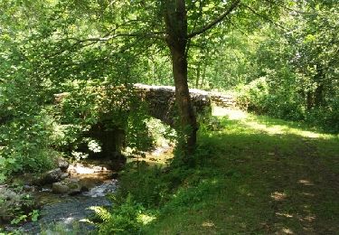
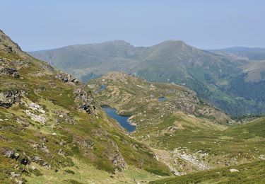
, en boucle - Photo 1")
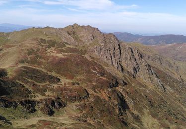
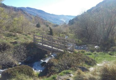
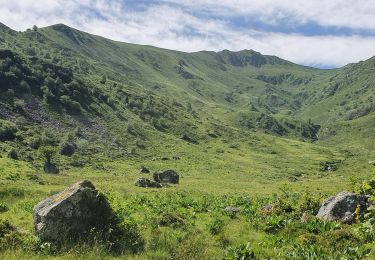
, en boucle - Photo 2")
Walking

Walking
Walking
Walking
Walking
Walking
Walking
Walking
Walking