Trail Walking el Castell de Guadalest - vivvod - Photo
© OpenStreetMap contributors
Length
Length
7.7 km
Max alt
Max alt
566 m
Uphill gradient
Uphill gradient
287 m
Km-Effort
Km-Effort  
11.5 km
Min alt
Min alt
368 m
Downhill gradient
Downhill gradient
285 m
Boucle
Boucle
Yes
Creation date :
2022-02-01 08:54:43.396
Updated on :
2022-02-01 11:31:24.395

(0 Reviews)

Walking
Walking
2h36
Difficulty : Medium

Scan this QR Code to open this trail in the SityTrail application

FREE GPS app for hiking

Logo SityTrail SityTrail

IGN / Geographical institutes

Download SityTrail from the App Store Download SityTrail from Google Play

Logo SityTrail SityTrail World

The world is yours!

Download SityTrail from the App Store Download SityTrail from Google Play Download SityTrail on Huawei AppGallery

About

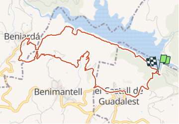
Trail Walking of 7.7 km to be discovered at Valencian Community, Alacant / Alicante, el Castell de Guadalest. This trail is proposed by andre.forthomme@gmail.com.

Description

superbe randonnee

Elevation profile

Photos

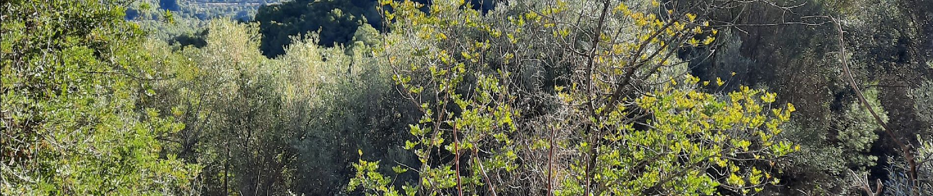
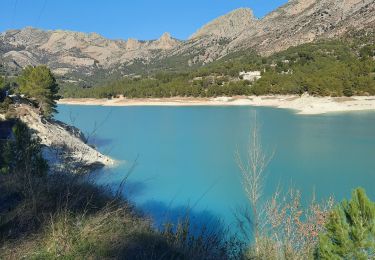
22 photos in total. Please click on a photo to see them all in the gallery.

Positioning

Country:
Spain
Region :
Valencian Community
Department/Province :
Alacant / Alicante
Municipality :
el Castell de Guadalest
Location:
Unknown
Start:(UTM)
744200 ; 4284882 (30S) N.

Trails nearby

Trail Walking el Castell de Guadalest - lac de guadalest - Photo
Walking
andre.forthomme@gmail.com

Walking

Difficult
el Castell de Guadalest, Valencian Community, Alacant / Alicante, Spain
9.4 km | 12.8 km-effort
2h 15min
Yes


Close
My subscriptions