


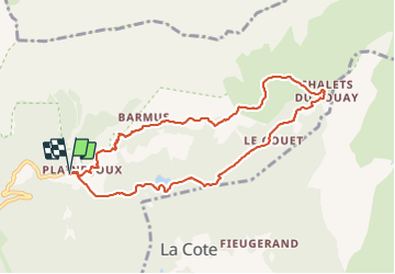

9 km | 14.3 km-effort

User


FREE GPS app for hiking
 SityTrail
IGN / Geographical institutes
SityTrail World
The world is yours!
Trail Snowshoes of 9 km to be discovered at Auvergne-Rhône-Alpes, Upper Savoy, Passy. This trail is proposed by petole.
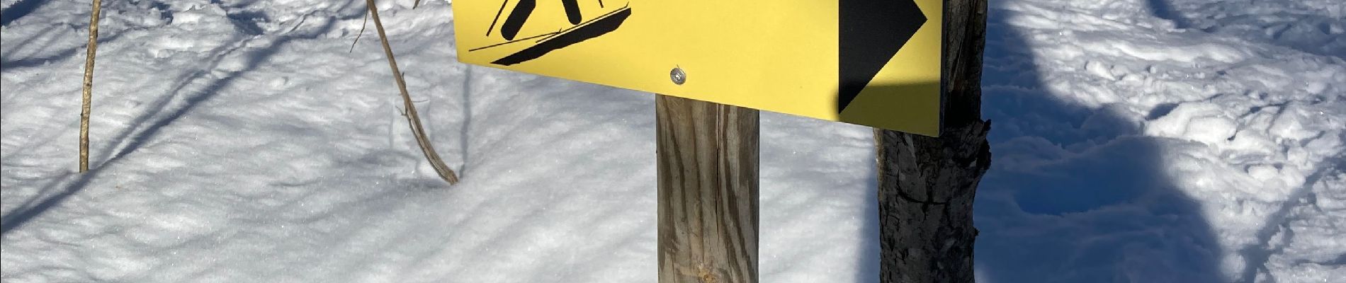
Boucle agréable avec un départ un peu raide suivi d’un itinéraire plus plat. Suivre les panneaux jaunes. L’arrêt casse croûte à Ayère pierrieres mérite la balade.


Walking

Walking

Walking

Walking

Walking

Running

Walking

Walking

Walking