


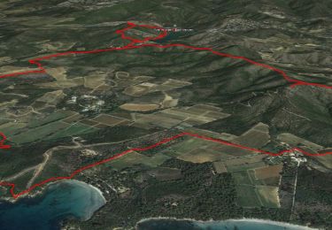
13.4 km | 21 km-effort


User


FREE GPS app for hiking
 SityTrail
IGN / Geographical institutes
SityTrail World
The world is yours!
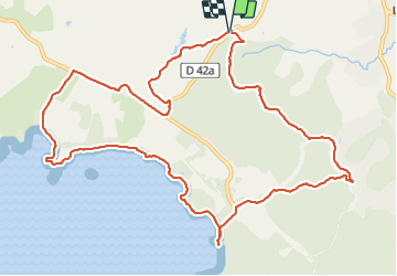
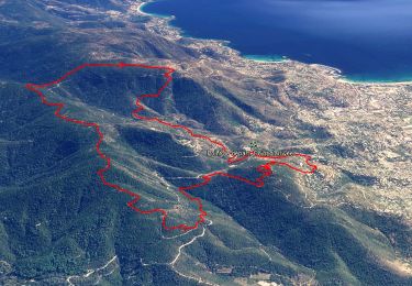
Trail Walking of 14 km to be discovered at Provence-Alpes-Côte d'Azur, Var, Bormes-les-Mimosas. This trail is proposed by Daniel.BRUN-PICARD.
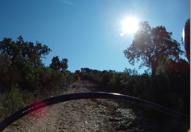
Très belle randonnée effectuée avec le Touring Club du Var.
Les chemins sont variés et le paysages magnifiques.
Merci aux accompagnateurs.


Walking

Walking

Walking

Walking
Trail
Walking

Walking
Walking
Walking
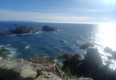
Merci pour ce beau tour, avec petite baignade 😊