


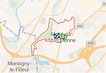

8.5 km | 10.6 km-effort


User


FREE GPS app for hiking
 SityTrail
IGN / Geographical institutes
SityTrail World
The world is yours!
Trail Walking of 6.9 km to be discovered at Wallonia, Hainaut, Charleroi. This trail is proposed by ELISECRO.
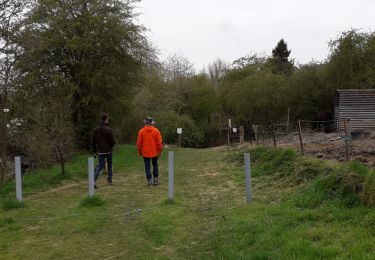
petites routes secondaires - vers le "petit bois" de Mont Sur Marchienne (rue du Mayeuri) - vers le Moria et la statue de Darville - le sentier de l'Eau d'Heure et la réserve natagora du Brun Chêne


Walking
Walking

Walking

Walking

Walking

Walking

Walking

Walking
Walking