


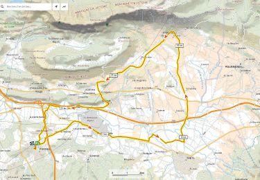
33 km | 43 km-effort

User


FREE GPS app for hiking
 SityTrail
IGN / Geographical institutes
SityTrail World
The world is yours!
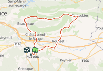
Trail Road bike of 36 km to be discovered at Provence-Alpes-Côte d'Azur, Bouches-du-Rhône, Fuveau. This trail is proposed by ericberlin.
Fuveau Rousset Puyloubier Le Cengle La maison de Ste Victoire (bar resto musée informations) Beaureceuil Chateauneuf Fuveau
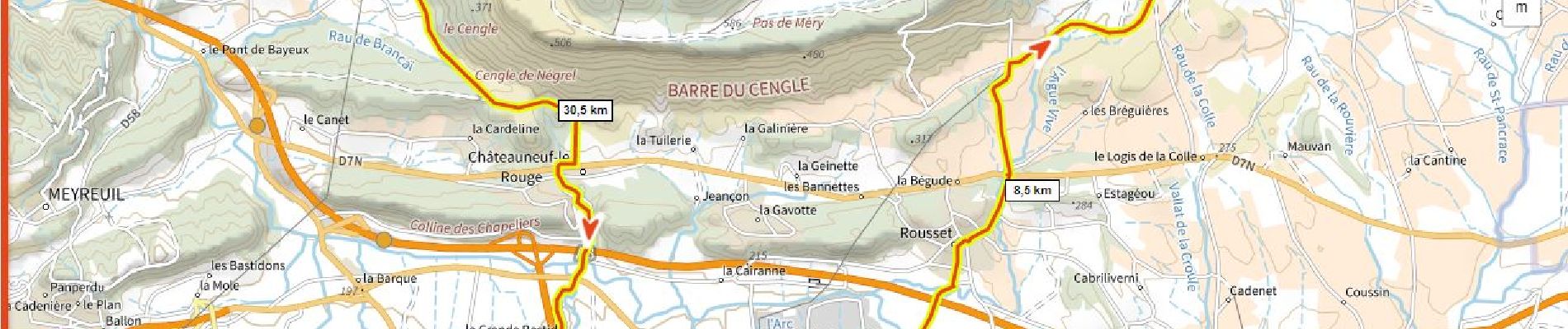
Montée soutenue de Puyloubier au Cengle.
Vues magnifiques


Mountain bike

Walking

Mountain bike

Road bike

Mountain bike

Walking

Road bike

Mountain bike
Road bike