


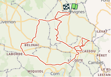

15.9 km | 19.1 km-effort


User


FREE GPS app for hiking
 SityTrail
IGN / Geographical institutes
SityTrail World
The world is yours!
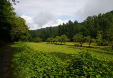
Trail Mountain bike of 26 km to be discovered at Occitania, Lot, Reyrevignes. This trail is proposed by dom46.
23/01/22
Walking

Equestrian
Walking
Walking


Moto cross
Walking
Walking