


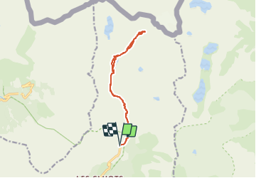

6.7 km | 13.6 km-effort

User


FREE GPS app for hiking
 SityTrail
IGN / Geographical institutes
SityTrail World
The world is yours!
Trail Snowshoes of 13.5 km to be discovered at Provence-Alpes-Côte d'Azur, Maritime Alps, Belvédère. This trail is proposed by bozo1970.
Départ du pont du Countet
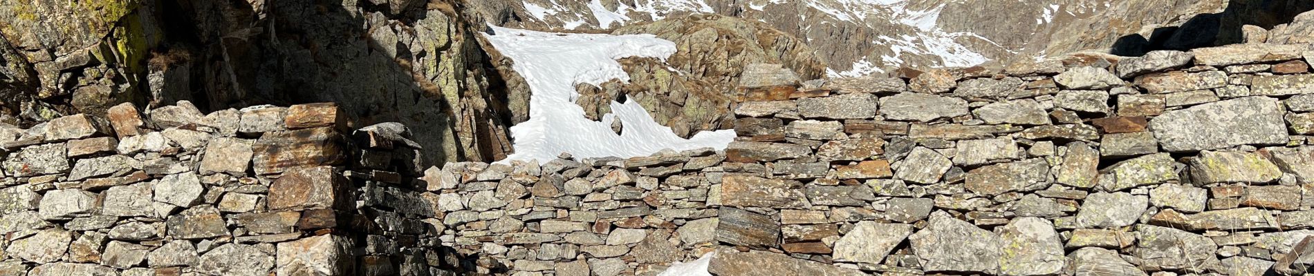
50’ au mur des italiens
2h au refuge de Nice
Montée par le vallon du Clapier
Stop à 4h30’ de montée à 300m du sommet
Il aurait fallu 6h de montée, trop difficile en raquettes
Presque 3h de descente !


On foot

Walking

On foot

On foot

On foot

Walking

Walking

Walking

Walking