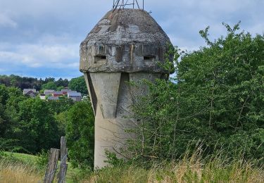
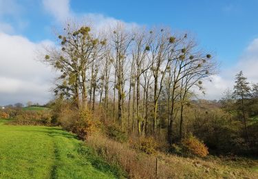
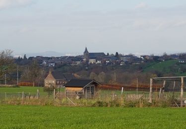
9.8 km | 12.3 km-effort
Test backlinking
Zexxion
User
Length
9.6 km
Max alt
236 m
Uphill gradient
213 m
Km-Effort
12.4 km
Min alt
144 m
Downhill gradient
201 m
Boucle
No
Creation date :
2022-01-20 08:05:06.257
Updated on :
2022-01-20 08:23:05.021
2h48
Difficulty : Easy
FREE GPS app for hiking
About
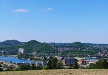
Trail On foot of 9.6 km to be discovered at Wallonia, Liège, Fléron. This trail is proposed by Zexxion.
Description
Test : https://google.com
Test 2 : www.google.com
Positioning
Country:
Belgium
Region :
Wallonia
Department/Province :
Liège
Municipality :
Fléron
Location:
Unknown
Start:(Dec)
Start:(UTM)
690692 ; 5613190 (31U) N.
Comments
Trails nearby
2023-07-28_14h00m33_1702.gpx.xml
Walking
Easy
(1)
Blegny,
Wallonia,
Liège,
Belgium
9.9 km | 11.8 km-effort
2h 40min
Yes
2021-10-28_12h59m26_1395
Walking
Easy
(3)
Soumagne,
Wallonia,
Liège,
Belgium
10.4 km | 13.4 km-effort
3h 2min
Yes
F15 Fléron Fond du Pucet
Walking
Easy
(2)
Fléron,
Wallonia,
Liège,
Belgium
4.8 km | 6 km-effort
57min
Yes
A la découverte des Thermes et Coteaux: La Chapelle St Anne
Walking
Medium
(1)
Chaudfontaine,
Wallonia,
Liège,
Belgium
7.2 km | 10.4 km-effort
2h 12min
Yes
Par les Houlpais
Electric bike
Difficult
(1)
Blegny,
Wallonia,
Liège,
Belgium
37 km | 48 km-effort
2h 30min
Yes
Beyne-Heusay - Grivegnée par la Chapelle Sainte-Anne
Walking
Very easy
(1)
Beyne-Heusay,
Wallonia,
Liège,
Belgium
5.1 km | 6 km-effort
45min
No
Romsée
Mountain bike
Very difficult
(1)
Fléron,
Wallonia,
Liège,
Belgium
37 km | 49 km-effort
3h 23min
Yes
Quelle est l'utilité de la publication pour les utilisateurs?