


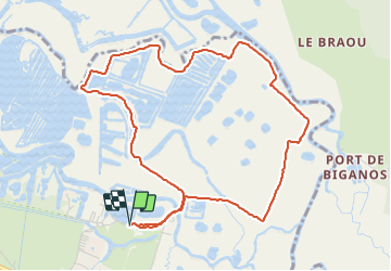

8.6 km | 9 km-effort

User


FREE GPS app for hiking
 SityTrail
IGN / Geographical institutes
SityTrail World
The world is yours!
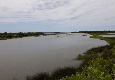
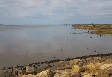
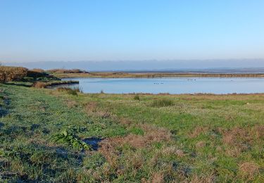
Trail Walking of 5.5 km to be discovered at New Aquitaine, Gironde, Le Teich. This trail is proposed by eric.mignot.
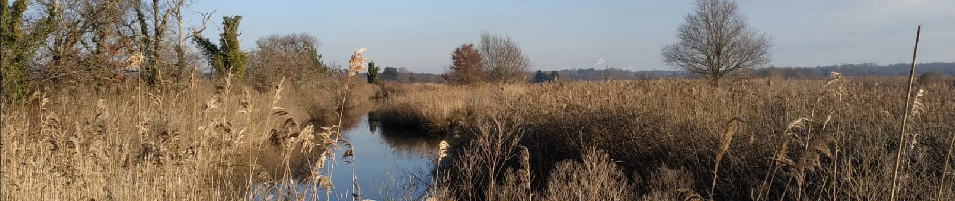
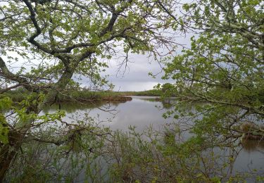
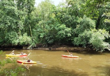
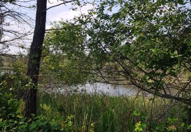
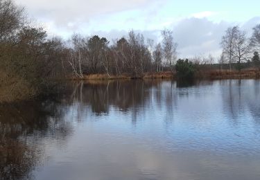
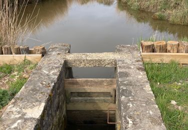
Depuis le port du Teich, d'un bras à l'autre de la Leyre.
Sentier pouvant être très boueux et glissant ! à éviter si alternance de gel et dégel.

Walking
Walking
Hybrid bike
Walking
Walking
Walking
Walking
Walking
Walking