


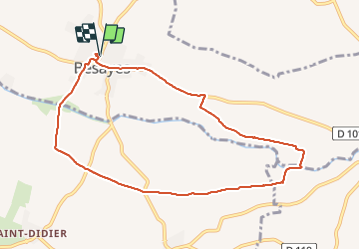

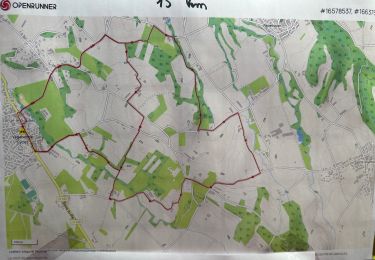
14.2 km | 22 km-effort

User


FREE GPS app for hiking
 SityTrail
IGN / Geographical institutes
SityTrail World
The world is yours!
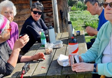
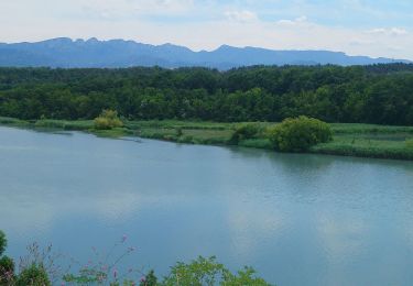
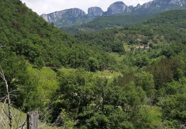
Trail Walking of 9.3 km to be discovered at Auvergne-Rhône-Alpes, Drôme, Bésayes. This trail is proposed by meillon.
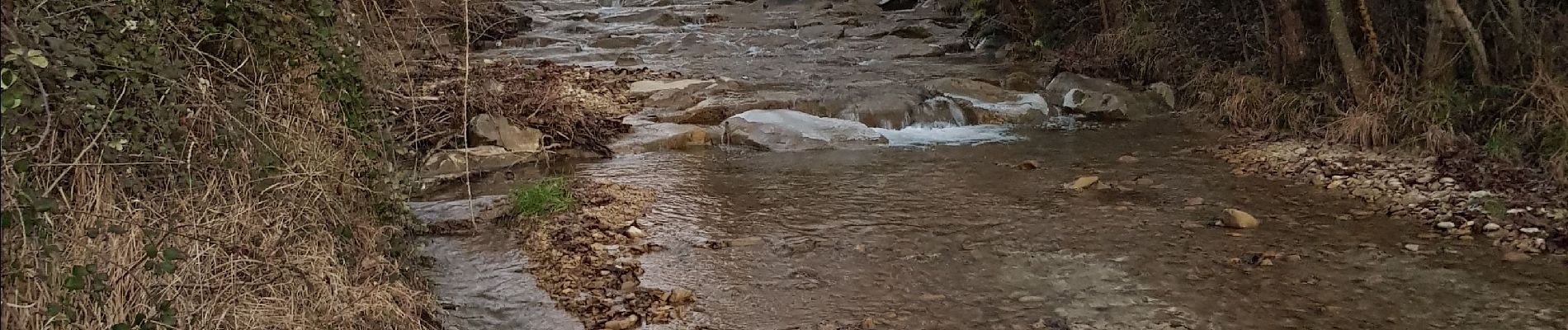
Autour de Besayes...en passant par les gues de la barberolle...le retour peut-être modifié car route fréquentée...


Walking

Walking
Walking

sport

Walking
Walking
Road bike
Walking

Walking