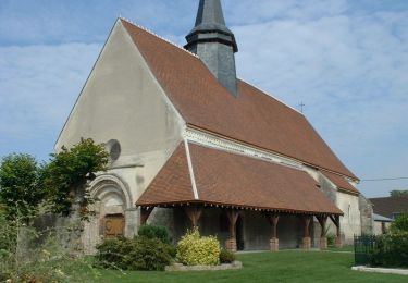
13 km | 14.9 km-effort
Marigny/Deshy 12.9 km d=89 m
Alain Picard
User
Length
13 km
Max alt
135 m
Uphill gradient
82 m
Km-Effort
14.1 km
Min alt
104 m
Downhill gradient
82 m
Boucle
Yes
Creation date :
2022-01-15 14:59:18.39
Updated on :
2022-01-15 15:08:04.831
3h11
Difficulty : Difficult
FREE GPS app for hiking
About
Trail Walking of 13 km to be discovered at Grand Est, Aube, Marigny-le-Châtel. This trail is proposed by Alain Picard.
Positioning
Country:
France
Region :
Grand Est
Department/Province :
Aube
Municipality :
Marigny-le-Châtel
Location:
Unknown
Start:(Dec)
Start:(UTM)
554575 ; 5361382 (31U) N.
Comments
Trails nearby
au fil de l'eau, de MARIGNY le CHATEL à SAINT FLAVY
Walking
Difficult
Marigny-le-Châtel,
Grand Est,
Aube,
France
3h 19min
Yes
Boucle de St Flavy - Marigny-le-Châtel
Walking
Easy
Marigny-le-Châtel,
Grand Est,
Aube,
France
4.3 km | 4.6 km-effort
1h 4min
Yes
Marigny la chatel
Walking
Easy
Marigny-le-Châtel,
Grand Est,
Aube,
France
11.1 km | 12 km-effort
2h 20min
Yes
boucle de Marigny
Walking
Very difficult
Marigny-le-Châtel,
Grand Est,
Aube,
France
20 km | 22 km-effort
5h 3min
Yes
entre Ossey et Marigny
Walking
Easy
Ossey-les-Trois-Maisons,
Grand Est,
Aube,
France
12.2 km | 13.7 km-effort
2h 47min
Yes
Marigny/Deshy 12.9 km d=89 m
Walking
Difficult
Marigny-le-Châtel,
Grand Est,
Aube,
France
13 km | 14.1 km-effort
3h 11min
Yes
Prunay-Belleville
On foot
Easy
Prunay-Belleville,
Grand Est,
Aube,
France
12.9 km | 13.9 km-effort
3h 8min
Yes
St-Martin-de-Bossenay
On foot
Easy
Saint-Martin-de-Bossenay,
Grand Est,
Aube,
France
11.3 km | 12.8 km-effort
Unknown
Yes
RD Saint Martin de Bossenay
On foot
Very easy
Saint-Martin-de-Bossenay,
Grand Est,
Aube,
France
8.2 km | 9 km-effort
2h 15min
Yes