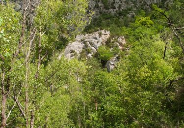
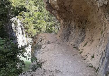
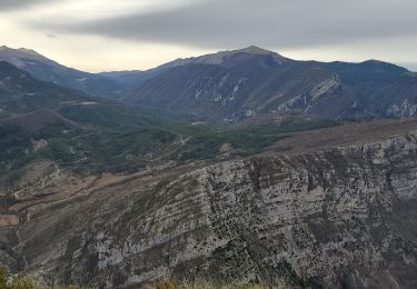
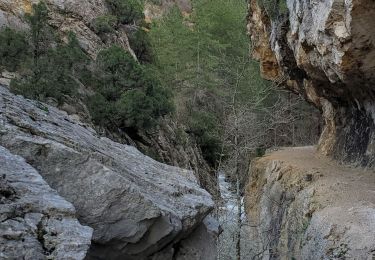
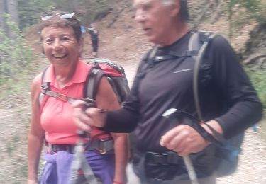
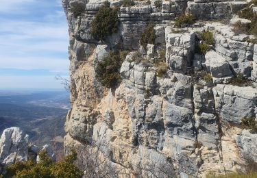
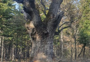
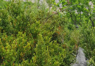
Trail Walking Estoublon - Trevans J1 - Refuge des Blaches - Photo
© OpenStreetMap contributors
Length
Length
22 km
Max alt
Max alt
1331 m
Uphill gradient
Uphill gradient
1058 m
Km-Effort
Km-Effort  
35 km
Min alt
Min alt
600 m
Downhill gradient
Downhill gradient
730 m
Boucle
Boucle
No
Creation date :
2014-12-10 00:00:00.0
Updated on :
2014-12-10 00:00:00.0

(1 Reviews)

Walking
Walking
7h40
Difficulty : Difficult

Scan this QR Code to open this trail in the SityTrail application

FREE GPS app for hiking

Logo SityTrail SityTrail

IGN / Geographical institutes

Download SityTrail from the App Store Download SityTrail from Google Play

Logo SityTrail SityTrail World

The world is yours!

Download SityTrail from the App Store Download SityTrail from Google Play Download SityTrail on Huawei AppGallery

About

Trail Walking of 22 km to be discovered at Provence-Alpes-Côte d'Azur, Alpes-de-Haute-Provence, Estoublon. This trail is proposed by motardes04.

Description

Attention passage pour rejoindre le pont des Tufs escarpé, étroit, plusieurs ressauts rocheux non équipés à franchir. A l'entrée du sentier un panneau signale l'obligation de n'emprunter ce sentier qu'encordé. Si ce n'est ni vertigineux ni exposé dans le sens où nous l'avons fait, la désescalade en sens inverse peut s'avérer plus complexe. A éviter globalement par temps de pluie. C'est cet élément qui a justifié la cotation difficile (pour bons marcheurs au pied vraiment sûr et capables de s'aider franchement des mains).

Elevation profile

Positioning

Country:
France
Region :
Provence-Alpes-Côte d'Azur
Department/Province :
Alpes-de-Haute-Provence
Municipality :
Estoublon
Location:
Unknown
Start:(UTM)
276986 ; 4869794 (32T) N.

Comments

Please log in to post a review or rate the element


Trails nearby

Trail Walking Estoublon - Gorges de Trévans - Estoublon - Photo
Walking
tracegps

Walking

Difficult
(1)
Estoublon, Provence-Alpes-Côte d'Azur, Alpes-de-Haute-Provence, France
8.9 km | 14.1 km-effort
3h 0min
Yes
Trail Walking Estoublon - TREVANS,  Chateau de Trevans,  les Beluguettes. Cotes Chaudes , Belvédère des  Gorges  , Turquet ,o quet  - Photo
Walking
GUIDE
RobinMicheline

Walking

Medium
Estoublon, Provence-Alpes-Côte d'Azur, Alpes-de-Haute-Provence, France
15.1 km | 24 km-effort
4h 48min
Yes
Trail Walking Beynes - Montagne de Beynes 11kms 720m - Photo
Walking
GUIDE
Danielba

Walking

Very difficult
Beynes, Provence-Alpes-Côte d'Azur, Alpes-de-Haute-Provence, France
11 km | 21 km-effort
6h 28min
Yes
Trail Walking Estoublon - estoublon sentier des oliviers gorges trevans 21k 950m  - Photo
Walking
GUIDE
Danielba

Walking

Easy
Estoublon, Provence-Alpes-Côte d'Azur, Alpes-de-Haute-Provence, France
21 km | 33 km-effort
8h 8min
Yes
Trail Walking Estoublon - Trevans les gorges - Photo
Walking
Abigail

Walking

Very difficult
Estoublon, Provence-Alpes-Côte d'Azur, Alpes-de-Haute-Provence, France
13.1 km | 21 km-effort
4h 49min
Yes
Trail Walking Beynes - 2023-03-17 Montagne de Beyne - Photo
Walking
GUIDE
Kargil

Walking

Medium
Beynes, Provence-Alpes-Côte d'Azur, Alpes-de-Haute-Provence, France
14.4 km | 26 km-effort
6h 28min
Yes
Trail Walking Estoublon - Gorges de Trevans par Valbonnette - Photo
Walking
Marchopier

Walking

Easy
Estoublon, Provence-Alpes-Côte d'Azur, Alpes-de-Haute-Provence, France
13.9 km | 22 km-effort
5h 8min
Yes
Trail Walking Estoublon - 2023-02-21 Gorges de Trévans - Passerelle de la Délasse - Photo
Walking
GUIDE
Kargil

Walking

Medium
Estoublon, Provence-Alpes-Côte d'Azur, Alpes-de-Haute-Provence, France
12.6 km | 20 km-effort
4h 38min
No
Trail Walking Beynes - 04 La montagne de Beynes (Variante 05/2022) - Photo
Walking
chris13370

Walking

Medium
Beynes, Provence-Alpes-Côte d'Azur, Alpes-de-Haute-Provence, France
12.9 km | 23 km-effort
7h 15min
Yes


Close
My subscriptions