12.5 km | 13.9 km-effort
Gélannes 12 km
Alain Picard
User
Length
11.6 km
Max alt
129 m
Uphill gradient
95 m
Km-Effort
12.9 km
Min alt
67 m
Downhill gradient
94 m
Boucle
Yes
Creation date :
2022-01-14 16:20:01.06
Updated on :
2022-01-14 16:21:18.932
2h55
Difficulty : Difficult
FREE GPS app for hiking
About
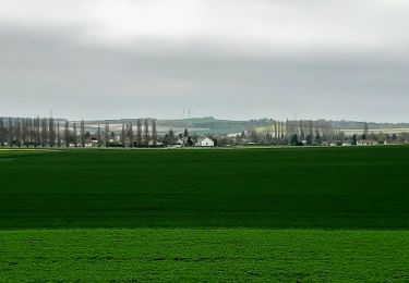
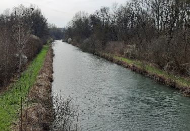
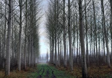
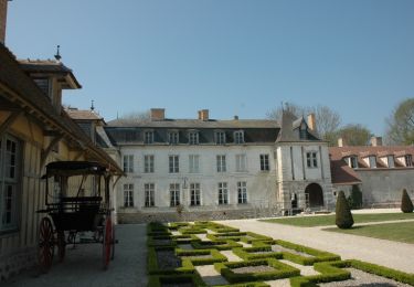
Trail Walking of 11.6 km to be discovered at Grand Est, Aube, Gélannes. This trail is proposed by Alain Picard.
Positioning
Country:
France
Region :
Grand Est
Department/Province :
Aube
Municipality :
Gélannes
Location:
Unknown
Start:(Dec)
Start:(UTM)
550056 ; 5370919 (31U) N.
Comments
Trails nearby
FERREUX-QUINCEY à Saint-AUBIN
On foot
Easy
(1)
Ferreux-Quincey,
Grand Est,
Aube,
France
3h 25min
Yes
GÉLANNES, le village et les champs de céréales
Walking
Medium
(1)
Gélannes,
Grand Est,
Aube,
France
10 km | 11.4 km-effort
2h 34min
Yes
Entre CRANCEY et PONT SUR SEINE
Walking
Medium
Crancey,
Grand Est,
Aube,
France
10.2 km | 11.5 km-effort
2h 25min
Yes
la Béchère 6 décembre 2021
Nordic walking
Medium
Romilly-sur-Seine,
Grand Est,
Aube,
France
8.5 km | 9 km-effort
1h 36min
Yes
Le Gué de Bailly
Walking
(1)
Romilly-sur-Seine,
Grand Est,
Aube,
France
11.5 km | 12.1 km-effort
2h 57min
Yes
Boucle Gelannes Pomereau
Walking
Very easy
Gélannes,
Grand Est,
Aube,
France
11.9 km | 13.9 km-effort
2h 25min
Yes
Balade en bord de Seine - Romilly sur Seine
Cycle
Medium
Romilly-sur-Seine,
Grand Est,
Aube,
France
58 km | 62 km-effort
2h 30min
Yes
pars les romilly montvilliers
On foot
Easy
Pars-lès-Romilly,
Grand Est,
Aube,
France
10.1 km | 10.6 km-effort
2h 24min
Yes