


13 km | 18.5 km-effort


User


FREE GPS app for hiking
 SityTrail
IGN / Geographical institutes
SityTrail World
The world is yours!
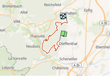
Trail Mountain bike of 18.4 km to be discovered at Grand Est, Bas-Rhin, Dambach-la-Ville. This trail is proposed by moser.
Belle boucle de 25 km au départ de la maison, passant par Dambach, Kriegshurt, ortenbourg, RF des chateaux

Walking

Walking
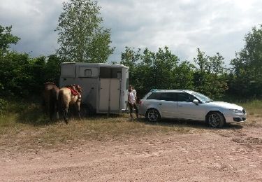
Equestrian

Walking

Walking

Mountain bike
Walking
Walking
Trail