


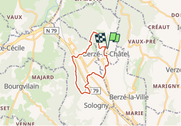

11.8 km | 16.1 km-effort

User


FREE GPS app for hiking
 SityTrail
IGN / Geographical institutes
SityTrail World
The world is yours!
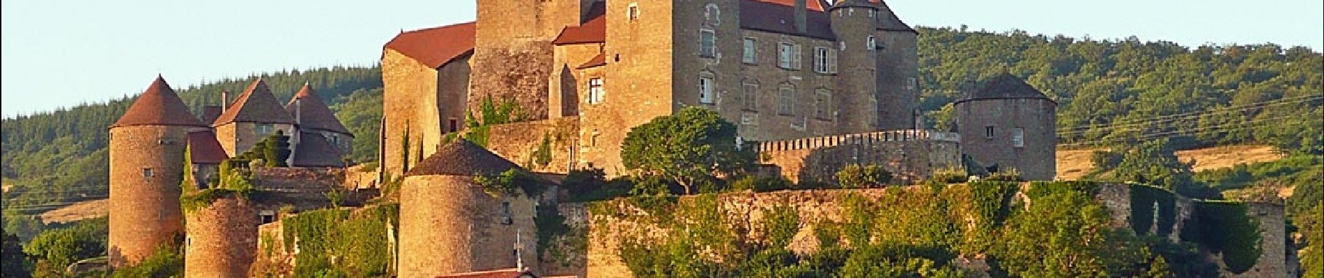
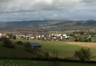
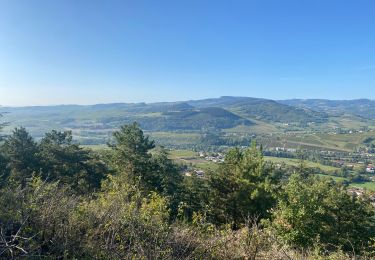
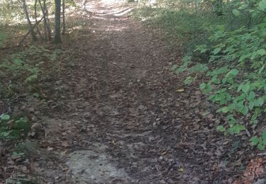
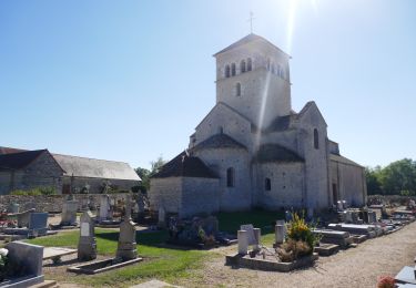
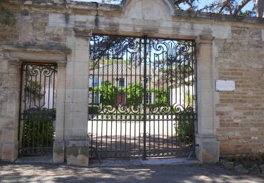
Trail Walking of 11 km to be discovered at Bourgogne-Franche-Comté, Saône-et-Loire, Berzé-le-Châtel. This trail is proposed by Bcomb.
Randonnée de difficulté moyenne avec belles vues sur le Chateau Féodal de Berzé le Chatel avec passage sous le viaduc du hameau La Roche à Sologny retour par le Bois Clair

Walking

On foot

Electric bike

sport
Walking

Walking
Electric bike
Electric bike

Walking