


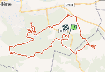


16.6 km | 21 km-effort

User GUIDE


FREE GPS app for hiking
 SityTrail
IGN / Geographical institutes
SityTrail World
The world is yours!
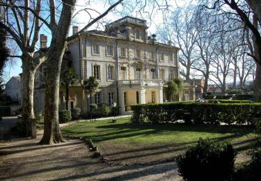
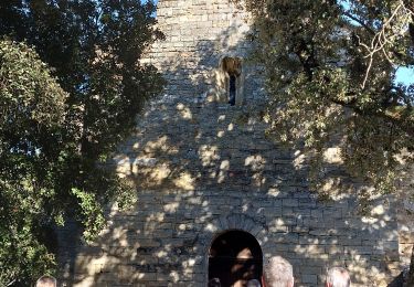
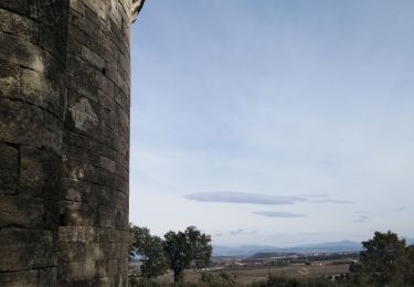
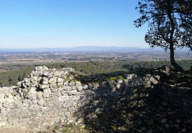
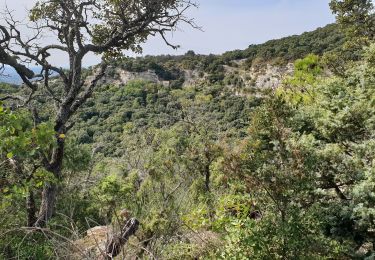
Trail Walking of 18.1 km to be discovered at Provence-Alpes-Côte d'Azur, Vaucluse, Bollène. This trail is proposed by randodyssée.
sylv Antoine rene
ne pas passé à la chapelle st Aries qui est ds une prop privee, couper avant....
a refaire


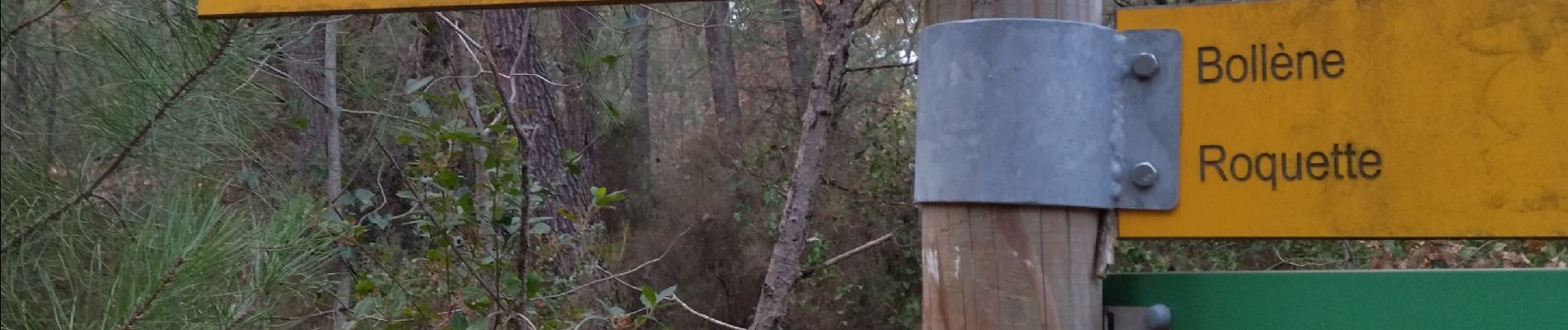
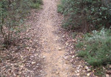
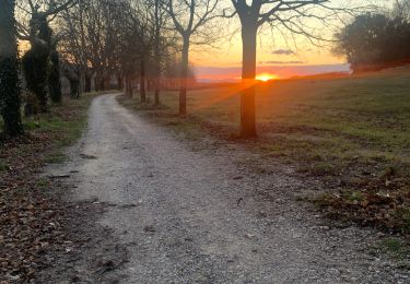
22 photos in total. Please click on a photo to see them all in the gallery.
On foot
Walking

Walking
Cycle

Mountain bike
Walking
Walking
Walking
Walking