


10.1 km | 14.9 km-effort

User


FREE GPS app for hiking
 SityTrail
IGN / Geographical institutes
SityTrail World
The world is yours!
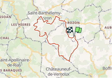
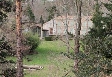
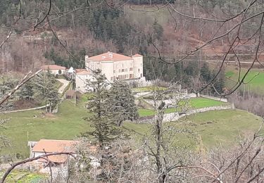
Trail Walking of 17 km to be discovered at Auvergne-Rhône-Alpes, Ardèche, Saint-Barthélemy-Grozon. This trail is proposed by TOULAUDIN.
Trace enregistrée club rando les Eisclops parcours possible VTT car sentiers larges et roulant quelques passages forte pente


Walking

Walking
Walking
Walking
Walking
Walking
Walking
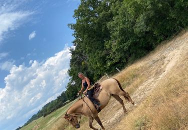
Horseback riding
Motor