


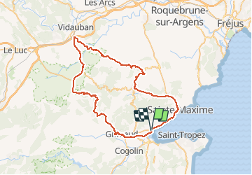

30 km | 40 km-effort


User


FREE GPS app for hiking
 SityTrail
IGN / Geographical institutes
SityTrail World
The world is yours!
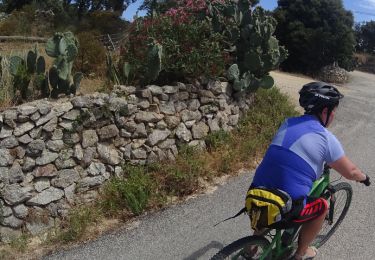
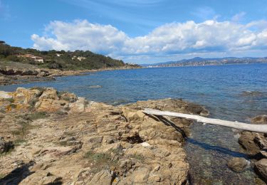
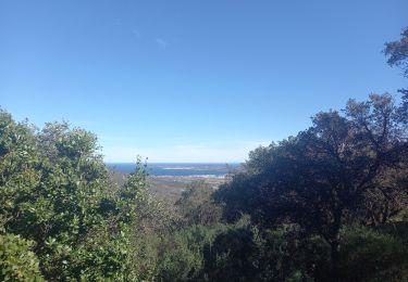
Trail Cycle of 68 km to be discovered at Provence-Alpes-Côte d'Azur, Var, Grimaud. This trail is proposed by olivier26.
boucle dans le massif des maures, par grimaud, garde frenet, vidauban, plan de la tour, st maxime, port grimaud
Mountain bike
Walking

Walking
Mountain bike
Mountain bike

Mountain bike
Mountain bike
Walking
Walking