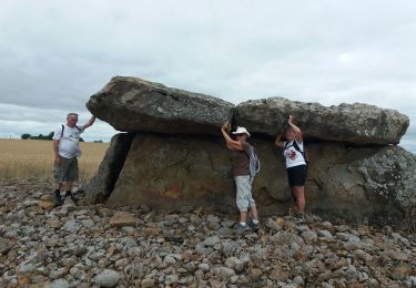
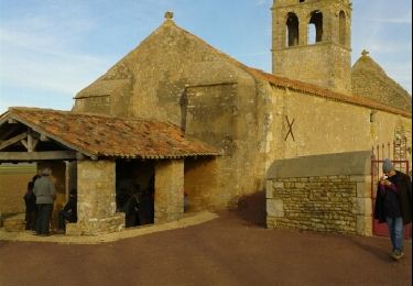
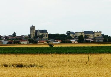
6.3 km | 6.9 km-effort
Entre Dive et thouet
egolibre
User
Length
31 km
Max alt
125 m
Uphill gradient
247 m
Km-Effort
34 km
Min alt
54 m
Downhill gradient
250 m
Boucle
Yes
Creation date :
2022-01-08 16:00:02.791
Updated on :
2022-01-08 16:01:36.307
2h04
Difficulty : Difficult
FREE GPS app for hiking
About
Trail Road bike of 31 km to be discovered at New Aquitaine, Deux-Sèvres, Plaine-et-Vallées. This trail is proposed by egolibre.
Description
ligaine-saint Jouin de marnes -Oiron-Praillon
Positioning
Country:
France
Region :
New Aquitaine
Department/Province :
Deux-Sèvres
Municipality :
Plaine-et-Vallées
Location:
Taizé-Maulais
Start:(Dec)
Start:(UTM)
718138 ; 5200258 (30T) N.
Comments
Trails nearby
Circuit de Noizé
Walking
Very easy
(1)
Plaine-et-Vallées,
New Aquitaine,
Deux-Sèvres,
France
1h 33min
Yes
DEUX SEVRES / THOUARSAIS: LES MEGALITHES
Walking
Easy
Plaine-et-Vallées,
New Aquitaine,
Deux-Sèvres,
France
11.7 km | 13.6 km-effort
3h 0min
Yes
.noize
Walking
Very easy
Plaine-et-Vallées,
New Aquitaine,
Deux-Sèvres,
France
14.5 km | 15.9 km-effort
2h 25min
No
Circuit d'Oiron
Walking
Easy
Plaine-et-Vallées,
New Aquitaine,
Deux-Sèvres,
France
6.3 km | 7.1 km-effort
1h 34min
Yes
Circuit de Noizé
Walking
Easy
(1)
Plaine-et-Vallées,
New Aquitaine,
Deux-Sèvres,
France
6.3 km | 6.9 km-effort
1h 34min
Yes
circuit boucle saint generoux velo
Cycle
Medium
Saint-Généroux,
New Aquitaine,
Deux-Sèvres,
France
36 km | 40 km-effort
Unknown
Yes
francette j7 St généroux parthenay
Bicycle tourism
Difficult
Saint-Généroux,
New Aquitaine,
Deux-Sèvres,
France
56 km | 64 km-effort
8h 49min
No
Oiron
Walking
Very easy
Plaine-et-Vallées,
New Aquitaine,
Deux-Sèvres,
France
6.3 km | 7.1 km-effort
1h 34min
Yes
St Généroux - La croix des forges
Walking
Difficult
Saint-Généroux,
New Aquitaine,
Deux-Sèvres,
France
10.8 km | 12.2 km-effort
2h 46min
Yes