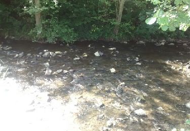
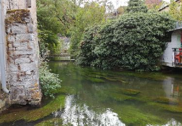
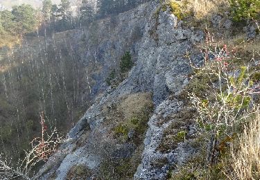
Trail Walking Viroinval - RB-PN-01A-QR2-11km5_2021-12-31 - Photo

RB-PN-01A-QR2-11km5_2021-12-31

Randonnez sur et autour des GR ® wallons (Sentiers de Grande Randonnée). PRO

© OpenStreetMap contributors
Length
Length
11.5 km
Max alt
Max alt
244 m
Uphill gradient
Uphill gradient
262 m
Km-Effort
Km-Effort  
15 km
Min alt
Min alt
145 m
Downhill gradient
Downhill gradient
262 m
Boucle
Boucle
Yes
Creation date :
2022-01-08 12:43:09.737
Updated on :
2022-05-09 07:08:25.465

(0 Reviews)

Walking
Walking
3h24
Difficulty : Difficult

Scan this QR Code to open this trail in the SityTrail application

FREE GPS app for hiking

Logo SityTrail SityTrail

IGN / Geographical institutes

Download SityTrail from the App Store Download SityTrail from Google Play

Logo SityTrail SityTrail World

The world is yours!

Download SityTrail from the App Store Download SityTrail from Google Play Download SityTrail on Huawei AppGallery

About

Trail Walking of 11.5 km to be discovered at Wallonia, Namur, Viroinval. This trail is proposed by GR Rando.

Description

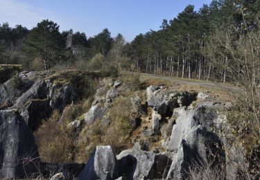
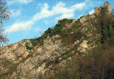
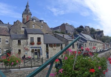
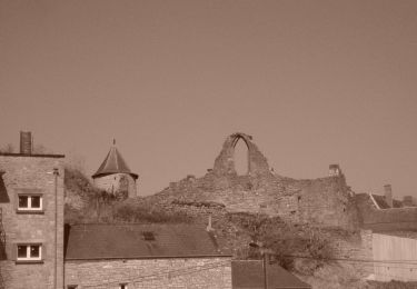
Malgré une large incursion sur le massif ardennais, ce parcours fait la part belle à la Calestienne, cette bande calcaire qui traverse la Wallonie depuis Chimay jusqu’aux portes de Liège et dans laquelle se situent les grottes majeures de Wallonie. Les quatre villages traversés, avec leurs maisons en moellons calcaires, sont remarquables et caractéristiques de cette région. Au gré de ses pas, le randonneur rencontrera également des pelouses calcaires, des sites karstiques impressionnants et de larges panoramas.

Points of interest

Point of interest Viroinval - Vers le point de vue du tienne aux Pauquis - Photo
grsentiers
Point of interest Viroinval - Montagne au Buis - Photo
grsentiers
VIROINVAL 
Point of interest Viroinval - Roche à Lomme - Photo
grsentiers
VIROINVAL 
Point of interest Viroinval - Ligne Mariembourg - Treignes - Vireux - Photo
grsentiers

Positioning

Country:
Belgium
Region :
Wallonia
Department/Province :
Namur
Municipality :
Viroinval
Location:
Unknown
Start:(UTM)
610843 ; 5548067 (31U) N.

Trails nearby

Trail Walking Couvin - Randonnée géologique - Photo
Walking
GUIDE+

Walking

Medium
(7)
Couvin, Wallonia, Namur, Belgium
21 km | 26 km-effort
5h 2min
Yes
Trail Walking Viroinval - RB-Na-13 Tiennes et vallons de la Calestienne - Photo
Walking
PRO

Walking

Medium
(13)
Viroinval, Wallonia, Namur, Belgium
22 km | 28 km-effort
6h 4min
Yes
Trail Walking Couvin - Promenade de la Justice et du centre de Couvin - Photo
Walking
GUIDE
Desrumaux

Walking

Very easy
(1)
Couvin, Wallonia, Namur, Belgium
7.1 km | 8.5 km-effort
1h 53min
Yes
Trail Cycle Viroinval - À la découverte de Viroinval - Photo
Cycle
GUIDE+

Cycle

Medium
(1)
Viroinval, Wallonia, Namur, Belgium
28 km | 34 km-effort
1h 58min
Yes
Trail Walking Couvin - (Couvin) 22 Promenade de l'Eau Noire - Photo
Walking
GUIDE+

Walking

Easy
(3)
Couvin, Wallonia, Namur, Belgium
5.5 km | 7.7 km-effort
1h 38min
Yes
Trail Walking Couvin - couvin - Au long de l'eau noire - Photo
Walking
telliers

Walking

Easy
(3)
Couvin, Wallonia, Namur, Belgium
11.4 km | 14.7 km-effort
3h 44min
Yes
Trail Walking Viroinval - fondry des chiens - Photo
Walking
patoche_78

Walking

Easy
(1)
Viroinval, Wallonia, Namur, Belgium
5.3 km | 6.9 km-effort
1h 35min
Yes
Trail Walking Couvin - RF-Na-11-Neptune_Petite-boucle - Photo
Walking
PRO

Walking

Medium
(2)
Couvin, Wallonia, Namur, Belgium
4.9 km | 6.7 km-effort
1h 31min
Yes
Trail Nordic walking Viroinval - VNW - Olloy-sur-viroin - 1 Fond de chênaux - Photo
Nordic walking
hannodi

Nordic walking

Medium
(1)
Viroinval, Wallonia, Namur, Belgium
5 km | 6.5 km-effort
1h 3min
Yes


Close
My subscriptions