


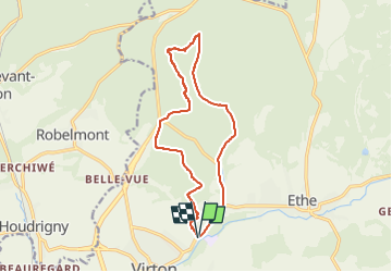


29 km | 35 km-effort


User


FREE GPS app for hiking
 SityTrail
IGN / Geographical institutes
SityTrail World
The world is yours!
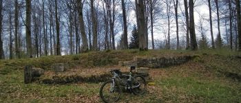
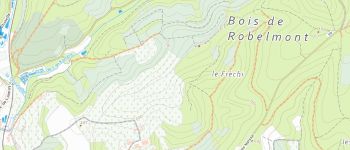
Trail Mountain bike of 12.8 km to be discovered at Wallonia, Luxembourg, Virton. This trail is proposed by Pascal L.
Départ/Retour: Virton (Pierrard)
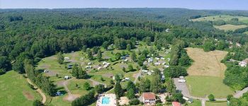
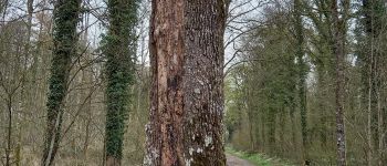
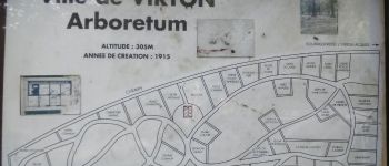
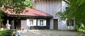
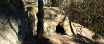
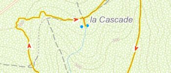
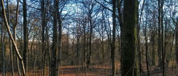
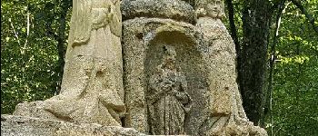
Endroits de passage: Camping, Plein Fays, Arboretum de Virton, Fond d'Awé, la Cascade, Fond des Loges, Repaire des Zigomars, Fontaine de la Mère-Dieu, Le Sentier des Songes, Fosse Aux Aunes, Vallée de Rabais, Fagne Pierrard
Remarque: à faire idéalement par temps sec et clair
(2021.12.19)


25 photos in total. Please click on a photo to see them all in the gallery.

Walking

Mountain bike

Walking

On foot

Walking

Walking

Mountain bike

Mountain bike

Mountain bike