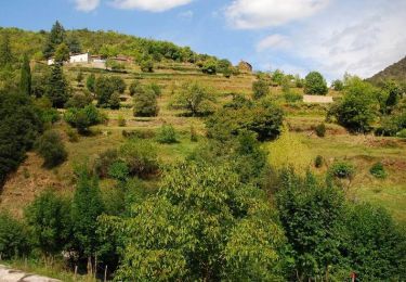
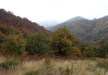
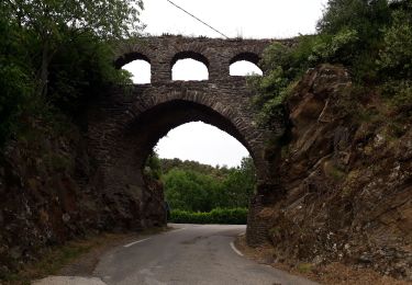
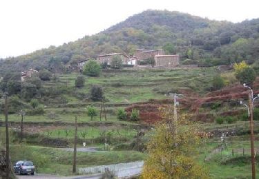
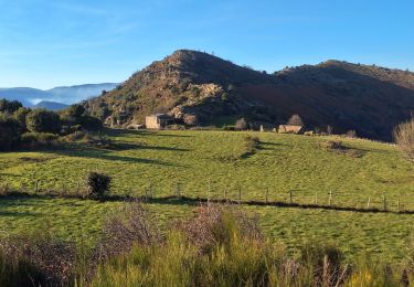
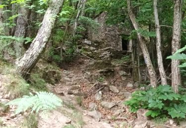
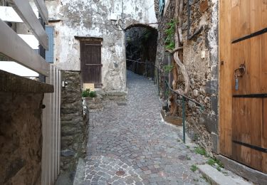
13.6 km | 21 km-effort
faveyrolle fontfouillouse col edpinas
grageot
User
Length
12.9 km
Max alt
909 m
Uphill gradient
572 m
Km-Effort
20 km
Min alt
452 m
Downhill gradient
563 m
Boucle
Yes
Creation date :
2014-12-10 00:00:00.0
Updated on :
2014-12-10 00:00:00.0
4h44
Difficulty : Unknown
FREE GPS app for hiking
About
Trail Walking of 12.9 km to be discovered at Occitania, Gard, Les Plantiers. This trail is proposed by grageot.
Description
belle randonnée Cévennes
Positioning
Country:
France
Region :
Occitania
Department/Province :
Gard
Municipality :
Les Plantiers
Location:
Unknown
Start:(Dec)
Start:(UTM)
555231 ; 4884302 (31T) N.
Comments
Trails nearby
Sentier de Saint Marcel de Fontfouillouse - Les Plantiers
Walking
Very difficult
(1)
Les Plantiers,
Occitania,
Gard,
France
4h 0min
Yes
Vallée Borgne
Walking
Difficult
Les Plantiers,
Occitania,
Gard,
France
19.7 km | 32 km-effort
5h 19min
Yes
vallée Borgne
Walking
Difficult
Les Plantiers,
Occitania,
Gard,
France
25 km | 36 km-effort
6h 15min
Yes
Aire de Côte - Mas Corbières
Walking
Medium
(1)
Bassurels,
Occitania,
Lozère,
France
13.9 km | 20 km-effort
4h 5min
No
Les Plantiers et st Marcel de Fontfouillouse
Walking
Difficult
(1)
Les Plantiers,
Occitania,
Gard,
France
13.6 km | 21 km-effort
4h 33min
Yes
Sentier du Mouflon - Les Plantiers
Walking
Difficult
Les Plantiers,
Occitania,
Gard,
France
11.2 km | 18.6 km-effort
3h 30min
Yes
Cascade d'Orgon-15-06-22
Walking
Difficult
Val-d'Aigoual,
Occitania,
Gard,
France
22 km | 40 km-effort
6h 17min
Yes
4000 marches-14-06-22
Walking
Very difficult
Val-d'Aigoual,
Occitania,
Gard,
France
30 km | 50 km-effort
7h 47min
Yes