


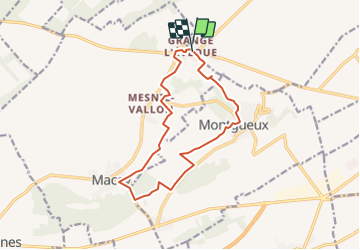

15.6 km | 19.6 km-effort


User


FREE GPS app for hiking
 SityTrail
IGN / Geographical institutes
SityTrail World
The world is yours!
Trail Walking of 13 km to be discovered at Grand Est, Aube, Saint-Lyé. This trail is proposed by jeannine grandjean.
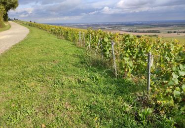
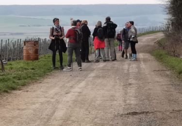
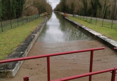
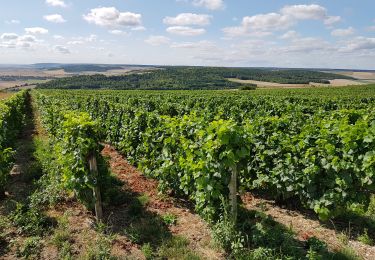
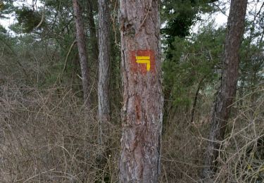
RANDONNÉE VARIÉE à travers champs, bois et vignes d'appellation Champagne ; de Montgueux, larges panoramas sur la vallée de la Seine et sur la ville de Troyes ; ne pas manquer les petites ruelles de ce charmant village perché sur une colline.
de bons dénivelés tout au long de l'itinéraire.
Walking

Walking
Walking
Walking
Walking
Walking