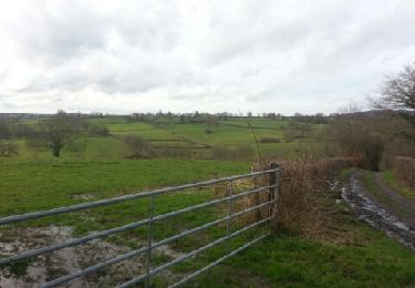
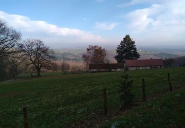
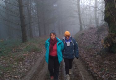
Trail Walking Chalmoux - Chalmoux (71) - Photo
© OpenStreetMap contributors
Length
Length
5.6 km
Max alt
Max alt
345 m
Uphill gradient
Uphill gradient
105 m
Km-Effort
Km-Effort  
7 km
Min alt
Min alt
275 m
Downhill gradient
Downhill gradient
103 m
Boucle
Boucle
No
Creation date :
2022-01-04 08:09:37.1
Updated on :
2022-01-04 11:19:36.23

(0 Reviews)

Walking
Walking
3h09
Difficulty : Easy

Scan this QR Code to open this trail in the SityTrail application

FREE GPS app for hiking

Logo SityTrail SityTrail

IGN / Geographical institutes

Download SityTrail from the App Store Download SityTrail from Google Play

Logo SityTrail SityTrail World

The world is yours!

Download SityTrail from the App Store Download SityTrail from Google Play Download SityTrail on Huawei AppGallery

About

Trail Walking of 5.6 km to be discovered at Bourgogne-Franche-Comté, Saône-et-Loire, Chalmoux. This trail is proposed by Praticrando.

Description

Au départ du restaurant,  direction Vezon puis La Choque. Passer dans le champ photovoltaique et tourner à droite en direction Montillon jusqu'à la D60. Traverser et prendre le chemin légèrement sur la droite.  Passer le Meix et tourner à droite puis après 200 m à gauche.  A la route D237 prendre à droite, après 200 m au Pontot prendre à droite.  aller jusqu'à la route et traverser  et suivre le chemin qui ramène à nouveau à la route principale.  La suivre  jusqu'au salon de coiffure puis prendre la première à droite.  Descendre un peu et tourner à droite à la hauteur de la maison avec panneaux solaires.  vous revenez vers le parking du restaurant.

Elevation profile

Positioning

Country:
France
Region :
Bourgogne-Franche-Comté
Department/Province :
Saône-et-Loire
Municipality :
Chalmoux
Location:
Unknown
Start:(UTM)
564753 ; 5161234 (31T) N.

Trails nearby

Trail Walking Chalmoux - autour de bourbon lancy: Sauvigny - Photo
Walking
jojoh2o

Walking

Very easy
Chalmoux, Bourgogne-Franche-Comté, Saône-et-Loire, France
3.9 km | 5.2 km-effort
1h 6min
Yes
Trail Walking Mont - 22/01/20 - Photo
Walking
jojoh2o

Walking

Very easy
Mont, Bourgogne-Franche-Comté, Saône-et-Loire, France
4.8 km | 6.5 km-effort
1h 24min
Yes
Trail Walking Mont - 31-12-2019 - Photo
Walking
jojoh2o

Walking

Very easy
Mont, Bourgogne-Franche-Comté, Saône-et-Loire, France
7.2 km | 9.4 km-effort
2h 5min
Yes
Trail Walking Mont - le signal de Mont  - Photo
Walking
made53

Walking

Very difficult
Mont, Bourgogne-Franche-Comté, Saône-et-Loire, France
19.5 km | 26 km-effort
7h 9min
Yes
Trail Mountain bike Chalmoux - vttAvecPhilippe22.05.2022.chalmoux - Photo
Mountain bike
sbouet

Mountain bike

Medium
Chalmoux, Bourgogne-Franche-Comté, Saône-et-Loire, France
68 km | 84 km-effort
4h 42min
Yes
Trail Walking Mont - 20191026 - Photo
Walking
jojoh2o

Walking

Very easy
Mont, Bourgogne-Franche-Comté, Saône-et-Loire, France
4.1 km | 5.5 km-effort
1h 12min
Yes
Trail Walking Bourbon-Lancy - Compostelle 10 saint Le´on - Photo
Walking
eric1955

Walking

Easy
Bourbon-Lancy, Bourgogne-Franche-Comté, Saône-et-Loire, France
35 km | 42 km-effort
8h 20min
No
Trail Walking Chalmoux - autour de bourbon lancy: la grande ouche - Photo
Walking
jojoh2o

Walking

Easy
Chalmoux, Bourgogne-Franche-Comté, Saône-et-Loire, France
4 km | 4.9 km-effort
59min
Yes
Trail Other activity Bourbon-Lancy - ballade dans Bourbon Lancy - Photo
Other activity
jojoh2o

Other activity

Very easy
Bourbon-Lancy, Bourgogne-Franche-Comté, Saône-et-Loire, France
4.7 km | 6 km-effort
1h 0min
Yes


Close
My subscriptions