


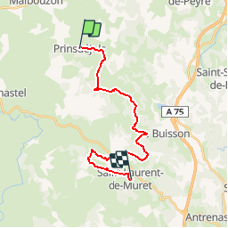

15.3 km | 18.4 km-effort


User


FREE GPS app for hiking
 SityTrail
IGN / Geographical institutes
SityTrail World
The world is yours!
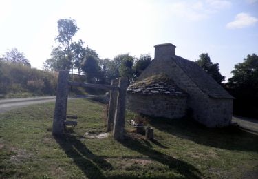
Trail Walking of 20 km to be discovered at Occitania, Lozère, Prinsuéjols-Malbouzon. This trail is proposed by SERUS.
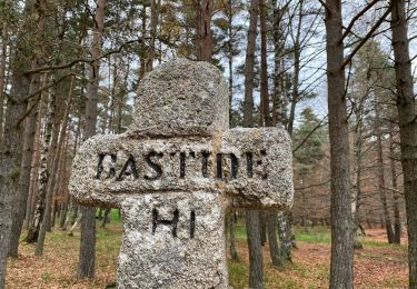
Prinsuéjols-La Combe-Trémouloux-Chtau de la Baume-Le Gibertès-Chantegrenouille-
Sinières Planes-Chaldecoste-St Laurent de Muret.

Walking

Walking
Walking

Walking
Walking

On foot
Walking

Walking
Walking