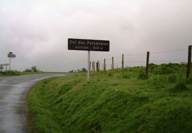
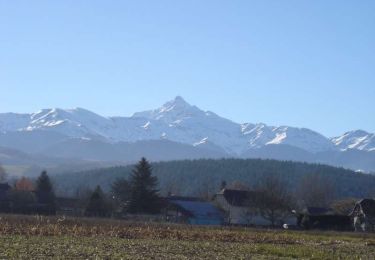
9.6 km | 12.7 km-effort
Barbazan dessus Hitte
GIRAUDEL
User
Length
8.7 km
Max alt
524 m
Uphill gradient
271 m
Km-Effort
12.3 km
Min alt
383 m
Downhill gradient
270 m
Boucle
Yes
Creation date :
2022-01-03 17:57:48.231
Updated on :
2022-01-03 17:59:38.688
2h48
Difficulty : Easy
FREE GPS app for hiking
About
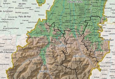
Trail Walking of 8.7 km to be discovered at Occitania, Hautespyrenees, Barbazan-Dessus. This trail is proposed by GIRAUDEL.
Positioning
Country:
France
Region :
Occitania
Department/Province :
Hautespyrenees
Municipality :
Barbazan-Dessus
Location:
Unknown
Start:(Dec)
Start:(UTM)
267685 ; 4782800 (31T) N.
Comments
Trails nearby
Lhez-Les ponts G4 fait en 2021
Walking
Difficult
Lhez,
Occitania,
Hautespyrenees,
France
11.2 km | 14.4 km-effort
3h 22min
Yes
lhezlespontsfaif
Walking
Very easy
Lhez,
Occitania,
Hautespyrenees,
France
11.6 km | 14.9 km-effort
3h 15min
Yes
lhezlespontsfaif
Walking
Very easy
(1)
Lhez,
Occitania,
Hautespyrenees,
France
11.6 km | 14.9 km-effort
3h 15min
Yes
montgaillard G2
Walking
Very easy
(1)
Montgaillard,
Occitania,
Hautespyrenees,
France
10.4 km | 14.2 km-effort
3h 0min
Yes
Autour de Bagnères-de-bigorre
Mountain bike
Difficult
Vielle-Adour,
Occitania,
Hautespyrenees,
France
39 km | 51 km-effort
3h 15min
Yes
Bagnères-de-Bigorre - Montgaillard
Mountain bike
Medium
Vielle-Adour,
Occitania,
Hautespyrenees,
France
38 km | 48 km-effort
3h 0min
Yes
bernac les deux fait
Walking
Very easy
Bernac-Debat,
Occitania,
Hautespyrenees,
France
7.8 km | 9.2 km-effort
2h 40min
Yes
montgaillard brouillon
Nordic walking
Easy
Montgaillard,
Occitania,
Hautespyrenees,
France
6.9 km | 9 km-effort
1h 38min
Yes