


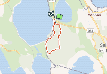

6.1 km | 7.1 km-effort

User


FREE GPS app for hiking
 SityTrail
IGN / Geographical institutes
SityTrail World
The world is yours!
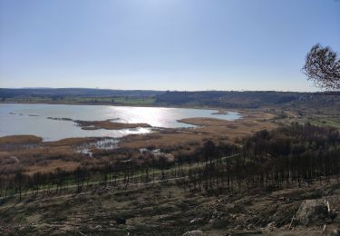
Trail Walking of 4.3 km to be discovered at Provence-Alpes-Côte d'Azur, Bouches-du-Rhône, Saint-Mitre-les-Remparts. This trail is proposed by rigol05.
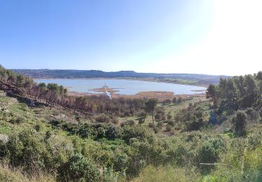
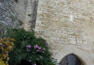
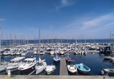
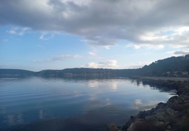
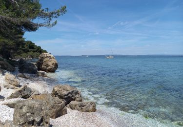
Séjour Côte Bleue - sortie du 29-12-2021
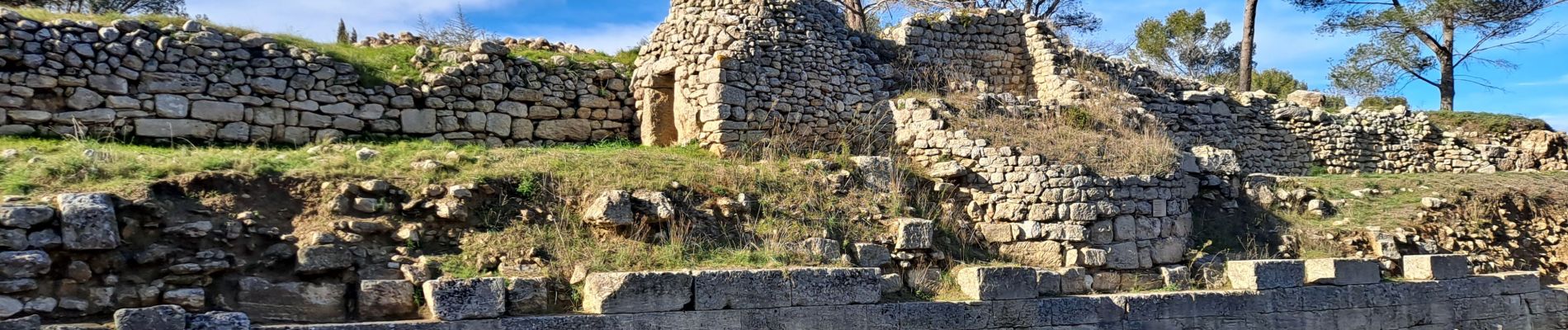
Site archéologique de Sainte Blaise. Nombreuse possibilités d'itinéraires, il existe un grand nombre de sentiers et pistes


On foot

On foot
On foot
On foot
On foot
On foot

Mountain bike
Walking
Walking