


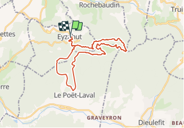

10.7 km | 13.6 km-effort

User


FREE GPS app for hiking
 SityTrail
IGN / Geographical institutes
SityTrail World
The world is yours!
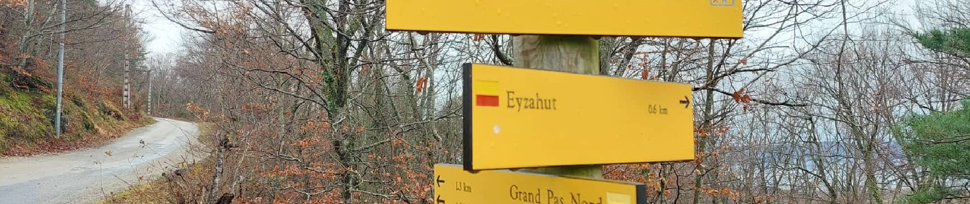
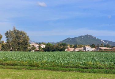
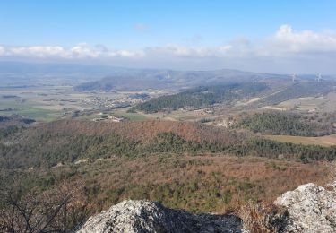
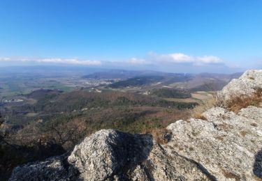
Trail On foot of 17.3 km to be discovered at Auvergne-Rhône-Alpes, Drôme, Eyzahut. This trail is proposed by Julie LABBE.
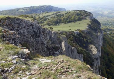
Boucle réservée aux randonneurs aguerris. La montée au trou du Furet requiert une attention toute particulière avec de nombreux passages techniques et délicats. Ne pas emprunter le chemin en sens inverse.


Walking

Walking

Walking

Walking

Walking
Walking

Walking
Walking
Walking
Super rando trail réservée aux personnes entraînées
Super sortie, très technique pour la première partie du parcours.