


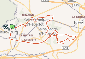


14.8 km | 18.9 km-effort

User


FREE GPS app for hiking
 SityTrail
IGN / Geographical institutes
SityTrail World
The world is yours!
Trail Walking of 12.3 km to be discovered at Normandy, Calvados, Vieux-Bourg. This trail is proposed by Eve - Line.


Walking
Walking
On foot
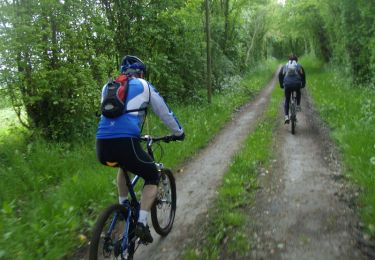
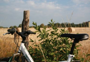
Mountain bike

Walking

Mountain bike
Mountain bike

Walking
Electric bike