8.1 km | 14.4 km-effort
06 St Agnes Menton2
ARPF
User
Length
14 km
Max alt
672 m
Uphill gradient
292 m
Km-Effort
20 km
Min alt
5 m
Downhill gradient
951 m
Boucle
No
Creation date :
2014-12-10 00:00:00.0
Updated on :
2014-12-10 00:00:00.0
4h24
Difficulty : Medium
FREE GPS app for hiking
About
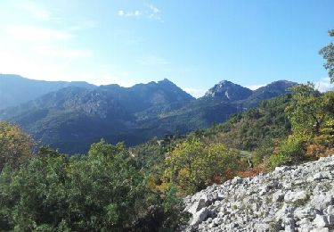
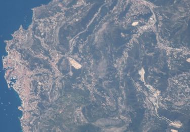
Trail Walking of 14 km to be discovered at Provence-Alpes-Côte d'Azur, Maritime Alps, Sainte-Agnès. This trail is proposed by ARPF.
Description
Trace de Jacques S 2014
Positioning
Country:
France
Region :
Provence-Alpes-Côte d'Azur
Department/Province :
Maritime Alps
Municipality :
Sainte-Agnès
Location:
Unknown
Start:(Dec)
Start:(UTM)
376279 ; 4850805 (32T) N.
Comments
Trails nearby
Mont Carpano en boucle
Walking
Medium
(1)
Castellar,
Provence-Alpes-Côte d'Azur,
Maritime Alps,
France
3h 18min
Yes
Castellar Gramondo Bocca Bassa Col St Bernard Monti réel
Walking
Very difficult
Castellar,
Provence-Alpes-Côte d'Azur,
Maritime Alps,
France
18.1 km | 36 km-effort
8h 17min
Yes
Cime de Baudon
On foot
Easy
Peille,
Provence-Alpes-Côte d'Azur,
Maritime Alps,
France
7 km | 14.7 km-effort
3h 20min
Yes
AM0 - ALPI MARE 0
On foot
Easy
Ventimiglia,
Liguria,
Imperia,
Italy
9.7 km | 13.8 km-effort
3h 8min
No
cape martin
Walking
Medium
(2)
Roquebrune-Cap-Martin,
Provence-Alpes-Côte d'Azur,
Maritime Alps,
France
4.4 km | 5.9 km-effort
1h 57min
Yes
Gorbio-Circuit des Cabanelles 31-10-2016
Walking
Medium
(1)
Gorbio,
Provence-Alpes-Côte d'Azur,
Maritime Alps,
France
10.8 km | 21 km-effort
3h 51min
Yes
Cime de Baudon
Walking
Medium
(1)
Peille,
Provence-Alpes-Côte d'Azur,
Maritime Alps,
France
7.8 km | 15.7 km-effort
4h 15min
Yes
mont carpano au départ de Castellar
Walking
Medium
(1)
Castellar,
Provence-Alpes-Côte d'Azur,
Maritime Alps,
France
7.7 km | 13.9 km-effort
5h 14min
Yes
Castellane - roc d'Ormea
Walking
Medium
Castellar,
Provence-Alpes-Côte d'Azur,
Maritime Alps,
France
9.7 km | 20 km-effort
3h 26min
No