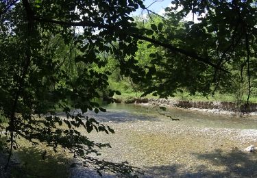
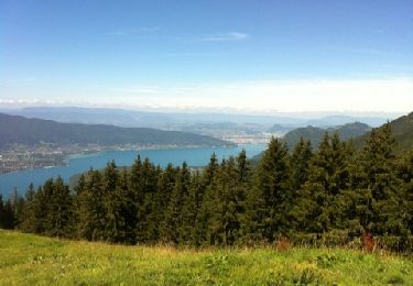
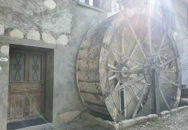
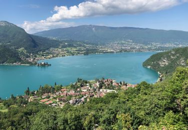
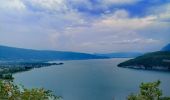
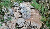
Trail Walking Duingt - Montagne de Taillefer - Photo

« L’heure de la fin des découvertes ne sonne jamais. » Colette GUIDE+

© OpenStreetMap contributors
Length
Length
3.2 km
Max alt
Max alt
655 m
Uphill gradient
Uphill gradient
200 m
Km-Effort
Km-Effort  
5.9 km
Min alt
Min alt
451 m
Downhill gradient
Downhill gradient
200 m
Boucle
Boucle
Yes
Creation date :
2021-12-22 11:36:01.041
Updated on :
2022-01-20 10:23:28.101

(2 Reviews)

Walking
Walking
1h20
Difficulty : Easy

Scan this QR Code to open this trail in the SityTrail application

FREE GPS app for hiking

Logo SityTrail SityTrail
IGN / Geographical institutes

Download SityTrail from the App Store Download SityTrail from Google Play

Logo SityTrail SityTrail World

The world is yours!

Download SityTrail from the App Store Download SityTrail from Google Play Download SityTrail on Huawei AppGallery

About

Trail Walking of 3.2 km to be discovered at Auvergne-Rhône-Alpes, Upper Savoy, Duingt. This trail is proposed by Au fil de nos découvertes.

Description

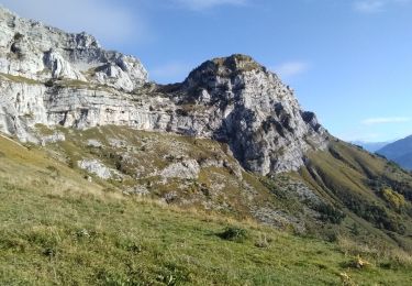
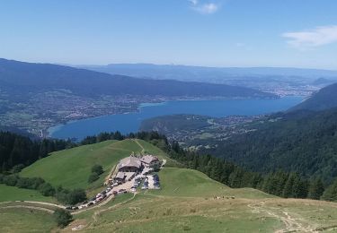
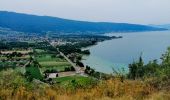
Très beau panorama sur le lac d’ Annecy ! 👌🏻

🅿️ Départ et Parking: Église de Duingt, Rue du Vieux Village, 74410 Duingt

▶️ Suivre la balise « Randonnée du Taillefer » (flèche jaune entourée de vert).

Nous sommes montés jusqu’au Belvédère du Taillefer. Descente par le Mont Gerbet. Plusieurs variantes possibles !

Il y a plusieurs endroits pour se reposer et pour pic-niquer 🥪🥖

Chiens autorisés en laisse. 🐩🐶🐕

N'hésitez pas à aller faire un tour sur notre site internet et nos réseaux :
www.aufildenosdecouvertes.com
www.facebook.com/aufildenosdecouvertes
https://www.instagram.com/au_fil_de_nos_decouvertes/

Elevation profile

Photos

Positioning

Country:
France
Region :
Auvergne-Rhône-Alpes
Department/Province :
Upper Savoy
Municipality :
Duingt
Location:
Unknown
Start:(UTM)
282718 ; 5078654 (32T) N.

Comments

Please log in to post a review or rate the element


top


Trails nearby

Trail Mountain bike Lathuile - VTT des sources du lac d'Annecy - Photo
Mountain bike
GUIDE
pascalou73

Mountain bike

Medium
(2)
Lathuile, Auvergne-Rhône-Alpes, Upper Savoy, France
27 km | 31 km-effort
2h 3min
Yes
Trail Walking Duingt - Montagne d'Entrevernes - Photo
Walking
gebocarm

Walking

Medium
(2)
Duingt, Auvergne-Rhône-Alpes, Upper Savoy, France
9.6 km | 19.3 km-effort
3h 53min
Yes
Trail Walking Talloires-Montmin - col de l aulp rocher de l ancrenaz - Photo
Walking
bonj39

Walking

Easy
(1)
Talloires-Montmin, Auvergne-Rhône-Alpes, Upper Savoy, France
8.8 km | 15.5 km-effort
1h 59min
Yes
Trail Walking Saint-Jorioz - Saint Jorioz - Boucle du Laudon  - Photo
Walking
GUIDE
Kargil

Walking

Easy
Saint-Jorioz, Auvergne-Rhône-Alpes, Upper Savoy, France
13.2 km | 18.9 km-effort
3h 13min
Yes
Trail Walking Talloires-Montmin - Talloires ermitage  - Photo
Walking
GUIDE
HERRY

Walking

Talloires-Montmin, Auvergne-Rhône-Alpes, Upper Savoy, France
7 km | 11.8 km-effort
2h 5min
Yes
Trail Walking Talloires-Montmin - la tournette par le mamelon Vert en boucle - Photo
Walking
GUIDE
nadd73

Walking

Difficult
Talloires-Montmin, Auvergne-Rhône-Alpes, Upper Savoy, France
10.9 km | 30 km-effort
6h 59min
Yes
Trail Walking Talloires-Montmin - au dessus d Aulp - Photo
Walking
GUIDE
stef789

Walking

Difficult
Talloires-Montmin, Auvergne-Rhône-Alpes, Upper Savoy, France
7.2 km | 16.8 km-effort
3h 35min
Yes
Trail Cycle Lathuile - Le tour du lac d'Annecy - Photo
Cycle
GUIDE
pascalou73

Cycle

Easy
Lathuile, Auvergne-Rhône-Alpes, Upper Savoy, France
38 km | 45 km-effort
2h 28min
No
Trail Walking Talloires-Montmin - Aulp-La Tournette - Photo
Walking
gebocarm

Walking

Difficult
(1)
Talloires-Montmin, Auvergne-Rhône-Alpes, Upper Savoy, France
8.1 km | 21 km-effort
4h 14min
Yes


Close
My subscriptions