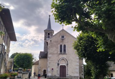
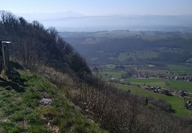
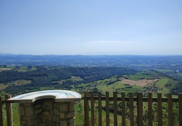
Trail On foot Romagnieu - ROMAGNIEU SUD  10.6 - Photo
© OpenStreetMap contributors
Length
Length
11 km
Max alt
Max alt
334 m
Uphill gradient
Uphill gradient
215 m
Km-Effort
Km-Effort  
13.8 km
Min alt
Min alt
238 m
Downhill gradient
Downhill gradient
216 m
Boucle
Boucle
Yes
Creation date :
2021-12-19 14:38:16.309
Updated on :
2021-12-19 14:40:16.954

(0 Reviews)

On foot
On foot
3h08
Difficulty : Easy

Scan this QR Code to open this trail in the SityTrail application

FREE GPS app for hiking

Logo SityTrail SityTrail

IGN / Geographical institutes

Download SityTrail from the App Store Download SityTrail from Google Play

Logo SityTrail SityTrail World

The world is yours!

Download SityTrail from the App Store Download SityTrail from Google Play Download SityTrail on Huawei AppGallery

About

Trail On foot of 11 km to be discovered at Auvergne-Rhône-Alpes, Isère, Romagnieu. This trail is proposed by Daniel Goussard.

Elevation profile

Positioning

Country:
France
Region :
Auvergne-Rhône-Alpes
Department/Province :
Isère
Municipality :
Romagnieu
Location:
Unknown
Start:(UTM)
706137 ; 5049673 (31T) N.

Trails nearby

Trail Walking Saint-Genix-les-Villages - 73_gresin_montTournier_18km_630 - Photo
Walking
SyMA

Walking

Difficult
Saint-Genix-les-Villages, Auvergne-Rhône-Alpes, Savoy, France
18.1 km | 26 km-effort
5h 23min
Yes
Trail Walking Saint-Genix-les-Villages - le monts tournier - Photo
Walking
colomb24

Walking

Medium
Saint-Genix-les-Villages, Auvergne-Rhône-Alpes, Savoy, France
18 km | 26 km-effort
6h 52min
Yes
Trail Horseback riding Saint-Genix-les-Villages - 201106 boucle StMauriceRotherens - Photo
Horseback riding
xhakon

Horseback riding

Difficult
Saint-Genix-les-Villages, Auvergne-Rhône-Alpes, Savoy, France
24 km | 34 km-effort
5h 0min
Yes
Trail Walking Saint-Genix-les-Villages - Flanerie entre Guiers et Rhône - Saint Genix sur Guiers - Photo
Walking
tracegps

Walking

Easy
Saint-Genix-les-Villages, Auvergne-Rhône-Alpes, Savoy, France
4.7 km | 5.1 km-effort
1h 30min
Yes
Trail Walking Aoste - tour aoste granieu - Photo
Walking
Claude DONNADIEU

Walking

Very easy
Aoste, Auvergne-Rhône-Alpes, Isère, France
8.2 km | 8.8 km-effort
1h 39min
Yes
Trail Horseback riding Les Abrets en Dauphiné - 202210 ApprochePressinsJ1 LesAbrets-Palladru - Photo
Horseback riding
xhakon

Horseback riding

Medium
Les Abrets en Dauphiné, Auvergne-Rhône-Alpes, Isère, France
27 km | 37 km-effort
5h 0min
No
Trail Walking Aoste - Aoste - Photo
Walking
lilloue

Walking

Difficult
Aoste, Auvergne-Rhône-Alpes, Isère, France
13.7 km | 14.9 km-effort
3h 56min
No
Trail Horseback riding Avressieux - col de la lattaz la crusille - Photo
Horseback riding
Nolene

Horseback riding

Medium
Avressieux, Auvergne-Rhône-Alpes, Savoy, France
17.2 km | 25 km-effort
4h 5min
Yes
Trail Cycle Aoste - St Genix - Château de Mandrin - Photo
Cycle
leeho

Cycle

Medium
Aoste, Auvergne-Rhône-Alpes, Isère, France
25 km | 32 km-effort
1h 49min
Yes


Close
My subscriptions