


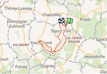

8.4 km | 10.7 km-effort


User


FREE GPS app for hiking
 SityTrail
IGN / Geographical institutes
SityTrail World
The world is yours!
Trail Walking of 13.1 km to be discovered at Grand Est, Meurthe-et-Moselle, Saxon-Sion. This trail is proposed by DanielROLLET.
2021 12 19 - 9h10 à 12h50 - avec Marie
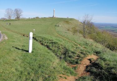
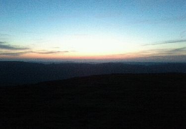
Brouillard en permanence et froid humide
Quelques courtes descentes un peu raides, Le sentier du Bois de Plaimont gras avec progression lente.
Nombreux sentiers ne sont pas sur la carte.
Visite du marché de Noël
Bâtons conseillés

On foot

Walking

Walking


sport
Walking

Walking

Walking
Walking
Merci Daniel. Randonnée très sympa surtout quand on a la chance de la faire par temps ensoleillé. 😉