

col de Rossanaz

nadd73
User GUIDE

Length
10.6 km

Max alt
1781 m

Uphill gradient
1041 m

Km-Effort
24 km

Min alt
734 m

Downhill gradient
1044 m
Boucle
Yes
Creation date :
2021-12-16 10:03:09.163
Updated on :
2021-12-16 18:15:17.08
5h00
Difficulty : Difficult

FREE GPS app for hiking
About
Trail Touring skiing of 10.6 km to be discovered at Auvergne-Rhône-Alpes, Savoy, Le Châtelard. This trail is proposed by nadd73.
Description
Départ de Montlardier. Galère à la montée car beaucoup d'arbres et pour contourner les barres en haut. Heureusement qu'à la descente j'ai eu de la poudreuse et c'était plus aéré.
Positioning
Country:
France
Region :
Auvergne-Rhône-Alpes
Department/Province :
Savoy
Municipality :
Le Châtelard
Location:
Unknown
Start:(Dec)
Start:(UTM)
276181 ; 5062236 (32T) N.
Comments
Trails nearby
La Montagne de Bange 1434m, depuis Montagny


Walking
Medium
(1)
Arith,
Auvergne-Rhône-Alpes,
Savoy,
France

10.5 km | 18.5 km-effort
3h 45min
Yes
Traversée du Mont Trélod, 2181m


Walking
Medium
(1)
Doucy-en-Bauges,
Auvergne-Rhône-Alpes,
Savoy,
France

10.9 km | 28 km-effort
7h 30min
No
Roc poyet


Walking
Medium
Le Châtelard,
Auvergne-Rhône-Alpes,
Savoy,
France

8.2 km | 19.8 km-effort
5h 6min
Yes

2015-09-11 Marche Mont Trelod


Walking
Medium
(1)
Doucy-en-Bauges,
Auvergne-Rhône-Alpes,
Savoy,
France

12.4 km | 28 km-effort
5h 25min
Yes
250524 Le Trelod et la Dents des Portes


Walking
Very difficult
Doucy-en-Bauges,
Auvergne-Rhône-Alpes,
Savoy,
France

11.9 km | 28 km-effort
6h 9min
Yes
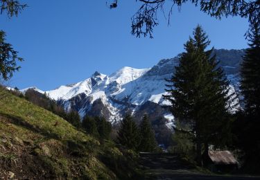
Croix d'Allant et Plan de la Limace


Walking
Very difficult
Jarsy,
Auvergne-Rhône-Alpes,
Savoy,
France

14.6 km | 26 km-effort
6h 29min
Yes
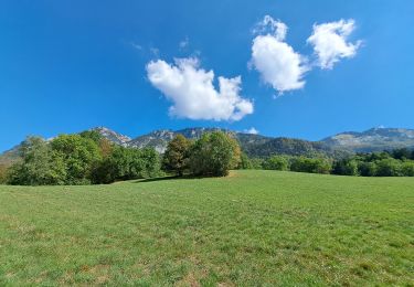
col colombier


Walking
Medium
Aillon-le-Vieux,
Auvergne-Rhône-Alpes,
Savoy,
France

9.4 km | 21 km-effort
3h 5min
Yes
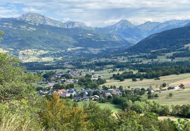
Col de la couchette en boucle avec passage au refuge


Walking
Easy
Arith,
Auvergne-Rhône-Alpes,
Savoy,
France

12.9 km | 22 km-effort
4h 17min
Yes
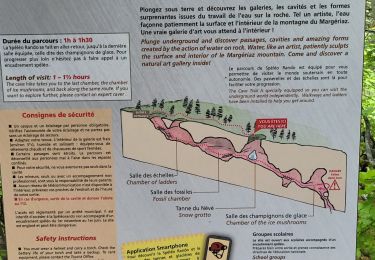
290523 Margeriaz


Walking
Very easy
Aillon-le-Jeune,
Auvergne-Rhône-Alpes,
Savoy,
France

10.3 km | 17.7 km-effort
3h 32min
Yes


 SityTrail


