


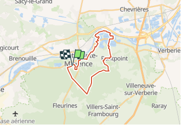

8.4 km | 10.2 km-effort


User


FREE GPS app for hiking
 SityTrail
IGN / Geographical institutes
SityTrail World
The world is yours!
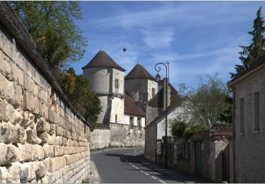
Trail Electric bike of 21 km to be discovered at Hauts-de-France, Oise, Pont-Sainte-Maxence. This trail is proposed by gilbertdu60.
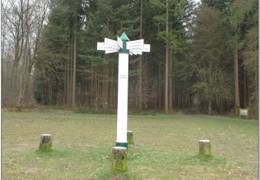
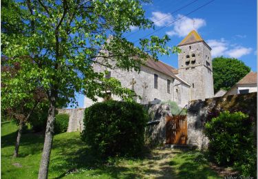
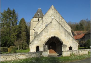
au départ du quartier des terriers en passant par le poteau du grand maitre, la route de la Croix Frapotel et l'église St Gervais de Pontpoint retour par la voie verte.

Walking

Walking
Walking
Mountain bike
Hybrid bike
Bicycle tourism
On foot
Electric bike
Electric bike