


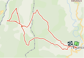

9.3 km | 18.6 km-effort


User


FREE GPS app for hiking
 SityTrail
IGN / Geographical institutes
SityTrail World
The world is yours!
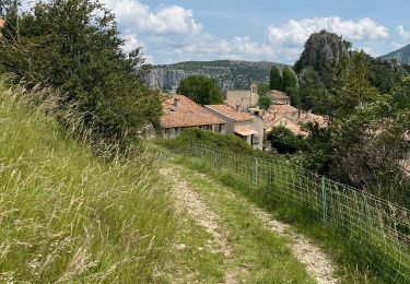
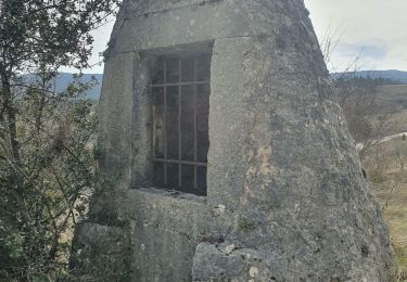
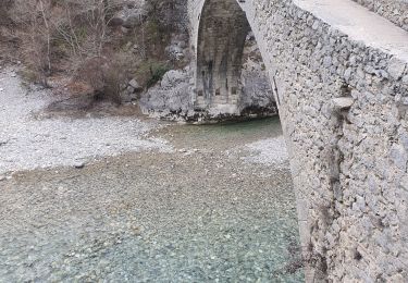
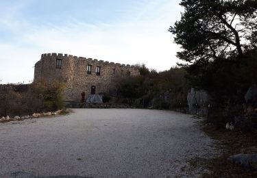
Trail Walking of 15 km to be discovered at Provence-Alpes-Côte d'Azur, Var, Trigance. This trail is proposed by ETMU5496.
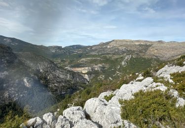
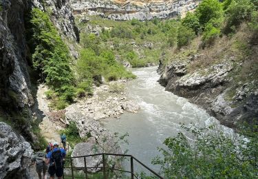
Au départ de Trigance, cheminement vers le belvédère de Racoumas pour une superbe vue en surplomb des gorges de Verdon du grand canyon. Superbe !


Walking

Walking

Walking
Walking
Walking
Walking
Walking
Walking
Walking