


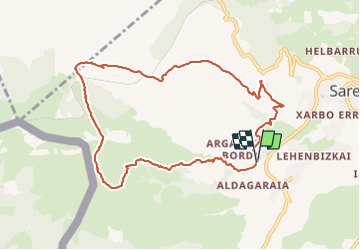

6.6 km | 8.9 km-effort

User


FREE GPS app for hiking
 SityTrail
IGN / Geographical institutes
SityTrail World
The world is yours!
Trail Walking of 10.3 km to be discovered at New Aquitaine, Pyrénées-Atlantiques, Sare. This trail is proposed by DECHAMPD.
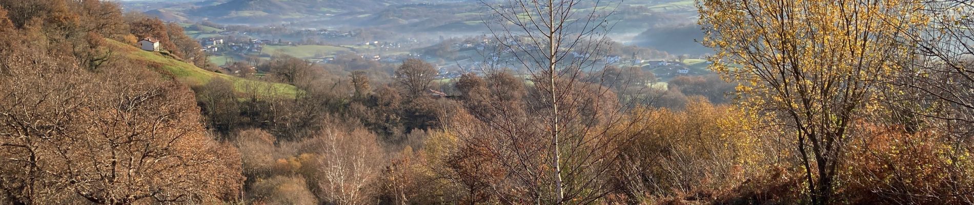
De col en col, face EST du massif de La RHUNE
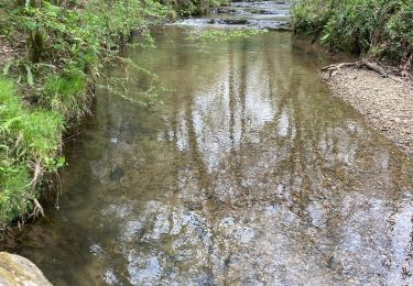
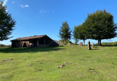
boucle d'environ 10 km au départ du chemin UHAIDA, Xantakorenea,(Sare) petit pont du ruisseau Portua que nous suivrons l’Uhaldeko Erreka, lande à fougères et ajoncs, pâturages, reste d’un vieux temple, on dépasse un gros bloc isolé (670m), en direction de la brèche supérieure d’Atekaleum (715m), puis descente vers les 3 fontaines (541m), traverser de la voie ferrée puis les crêtes de l’Altsanga (615m) et retour à Sare par les crêtes (300m) et le col des pharmaciens (171m) la chapelle « San Anton » et Iratzeburua.
Retour aux voitures après avoir franchi 8 cols et 9 sommets pour 10km, 710m de dénivelé et 20 km d’effort et sans monter à La Rhune.
Aucune difficulté par temps sec.


Walking
Walking

Walking

Walking
Walking
Walking
Walking
Walking
Walking