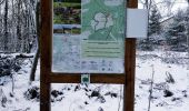
Trail Walking Waimes - La fagne de la Poleur. - Photo

La fagne de la Poleur.

« L’heure de la fin des découvertes ne sonne jamais. » Colette GUIDE+

© OpenStreetMap contributors
Length
Length
3.1 km
Max alt
Max alt
680 m
Uphill gradient
Uphill gradient
39 m
Km-Effort
Km-Effort  
3.6 km
Min alt
Min alt
639 m
Downhill gradient
Downhill gradient
39 m
Boucle
Boucle
Yes
Creation date :
2021-12-13 12:26:38.692
Updated on :
2022-01-20 10:28:00.6

(1 Reviews)

Walking
Walking
49m
Difficulty : Easy

Scan this QR Code to open this trail in the SityTrail application

FREE GPS app for hiking

Logo SityTrail SityTrail

IGN / Geographical institutes

Download SityTrail from the App Store Download SityTrail from Google Play

Logo SityTrail SityTrail World
The world is yours!

Download SityTrail from the App Store Download SityTrail from Google Play Download SityTrail on Huawei AppGallery

About

Trail Walking of 3.1 km to be discovered at Wallonia, Liège, Waimes. This trail is proposed by Au fil de nos découvertes.

Description

🅿️ Départ et Parking:
Station Scientifique Hautes Fagnes
Route de Botrange 137
4950 Waimes

Boucle de  /- 3,4 km pour une durée de 1h ⌚
Niveau facile🚶
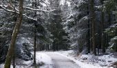
Prévoir de bonnes chaussures de marche (Terrain boueux et glissant). 🥾🥾

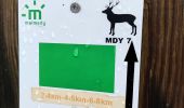
▶️ Suivre la balise « rectangle vert logo cerf – MDY 07 ».

🌲🌳

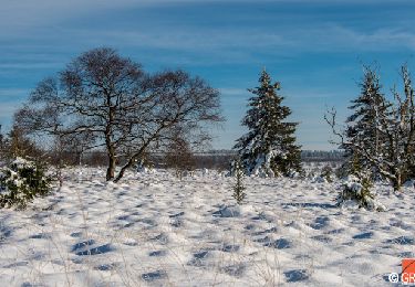
Très jolie promenade, et ce, à chaque saison! ❄️🌳🍂
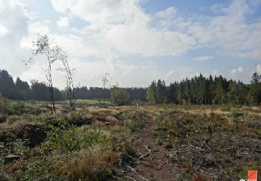
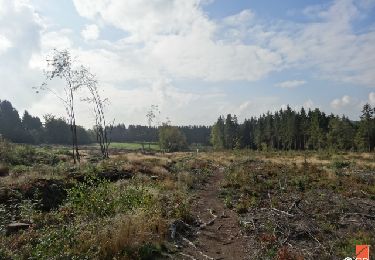
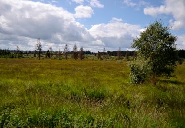
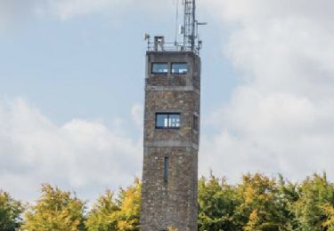
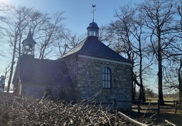
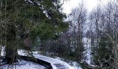
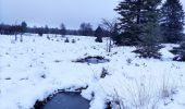
Découvrez la fagne de la Poleur et son sentier didactique grâce aux nombreux caillebotis présents sur le parcours.

Possibilités de pique-niquer. 🥪🍴
Les chiens sont autorisés en laisse.🐩🐶🐕
Convient pour les enfants . 👱👱‍♂️
Convient pour les poussettes et personnes à mobilité réduite. (Selon les conditions climatiques)👨‍🦽👩‍🦽👶
N'hésitez pas à aller faire un tour sur notre site internet et nos réseaux :
www.aufildenosdecouvertes.com
www.facebook.com/aufildenosdecouvertes
https://www.instagram.com/au_fil_de_nos_decouvertes/

Elevation profile

Photos

Positioning

Country:
Belgium
Region :
Wallonia
Department/Province :
Liège
Municipality :
Waimes
Location:
Robertville
Start:(UTM)
292677 ; 5599569 (32U) N.

Comments

Please log in to post a review or rate the element


Trails nearby

Trail Walking Waimes - RB-Lg-32_Botrange_via-racc-2 - Photo
Walking
PRO

Walking

(6)
Waimes, Wallonia, Liège, Belgium
16.7 km | 22 km-effort
5h 4min
Yes
Trail Walking Waimes - RB-Lg-32_Botrange_via-racc-1 - Photo
Walking
PRO

Walking

(7)
Waimes, Wallonia, Liège, Belgium
12.3 km | 15.7 km-effort
3h 34min
Yes
Trail Walking Waimes - RB-Lg-32_Botrange - Photo
Walking
PRO

Walking

(8)
Waimes, Wallonia, Liège, Belgium
19.6 km | 26 km-effort
5h 51min
Yes
Trail Walking Malmedy - RB-Lg-31_Malmedy - Photo
Walking
PRO

Walking

(6)
Malmedy, Wallonia, Liège, Belgium
16.9 km | 23 km-effort
5h 9min
Yes
Trail Walking Waimes - Sourbrodt - Circuit Natura 2000, des sites qui valent le détour - Lg11 - Photo
Walking
GUIDE+

Walking

Easy
(9)
Waimes, Wallonia, Liège, Belgium
7.3 km | 8.3 km-effort
1h 50min
Yes
Trail Walking Waimes - Balade Peak Myrtille avec extension - restaurée - Photo
Walking
PRO

Walking

Medium
(42)
Waimes, Wallonia, Liège, Belgium
4.9 km | 6 km-effort
1h 22min
Yes
Trail Walking Waimes - Balade Peak Myrtille - restaurée - Photo
Walking
PRO

Walking

Easy
(20)
Waimes, Wallonia, Liège, Belgium
2.7 km | 3.3 km-effort
45min
Yes
Trail Walking Waimes - Balade Peak Beer IPA (new) - Photo
Walking
PRO

Walking

Medium
(35)
Waimes, Wallonia, Liège, Belgium
9.7 km | 12 km-effort
2h 43min
Yes
Trail Walking Waimes - baraque Michel . botrange  . baraque michel - Photo
Walking
GUIDE
stef789

Walking

Very easy
(3)
Waimes, Wallonia, Liège, Belgium
8.9 km | 10.5 km-effort
3h 2min
Yes


Close
My subscriptions