


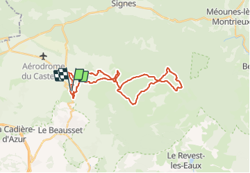

14.8 km | 19.6 km-effort


User


FREE GPS app for hiking
 SityTrail
IGN / Geographical institutes
SityTrail World
The world is yours!
Trail Mountain bike of 33 km to be discovered at Provence-Alpes-Côte d'Azur, Var, Le Beausset. This trail is proposed by samifly51.

Walking

Walking
Walking

Walking

Walking

Walking
Walking

Walking

sport
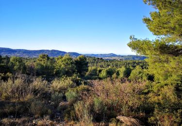
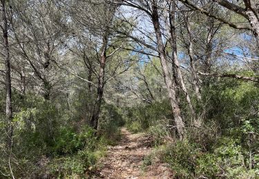
Le départ et l'Arrivée semblent être dans une propriété privée (Domaine Souviou) Il faut raccourcir un peu le parcours en partant depuis le Chemin de Signes à Ollioules On n'a pas vu de vignes ! mais des descentes sans marche, assez ludiques si vous êtes Vététistes aguerris .